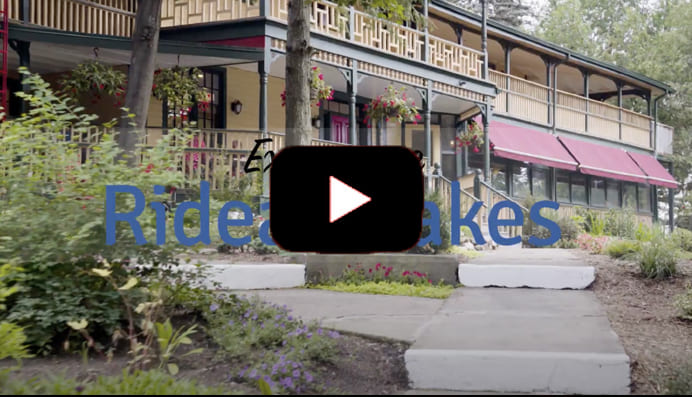
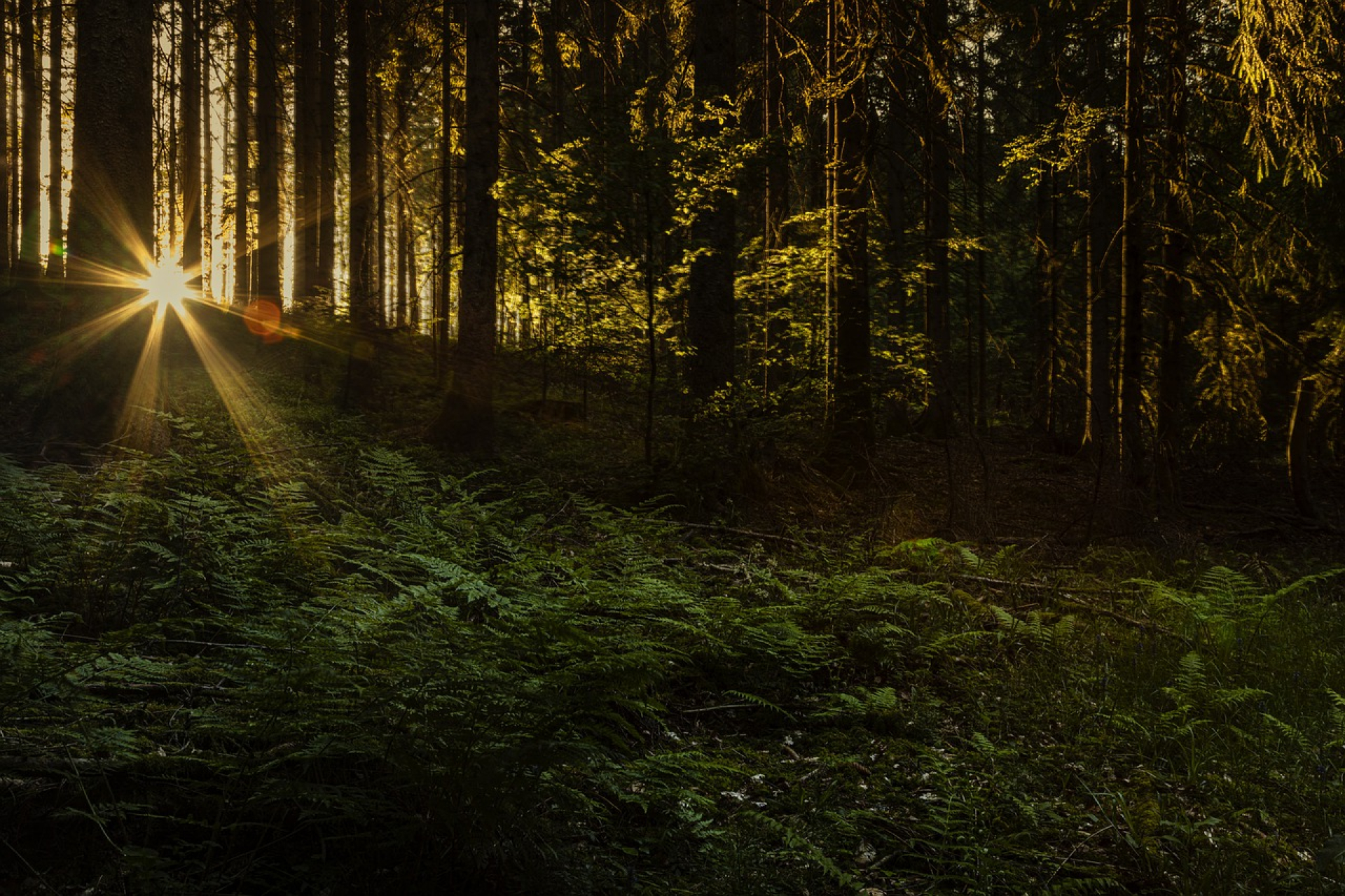
Plum Hollow is one of more than a dozen historic settlements in Rideau Lakes. At this time of year, stories abound about The Witch of Plum Hollow or a sinister-sounding community called Salem. This is the perfect time of year to explore these stories woven around former hamlets! Take a fall colour drive, and recount your favourite ghost stories.
The Witch of Plum Hollow
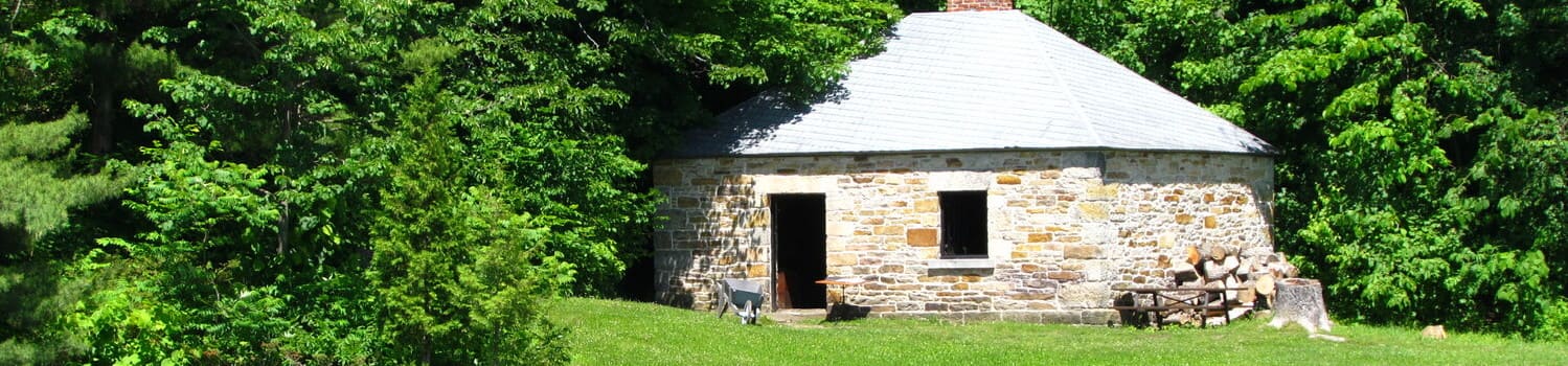
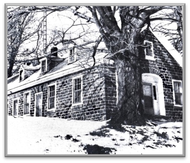
Jane Elizabeth Barnes, otherwise known as Mother Barnes, or the Witch of Plum Hollow, was a famed seer residing in a rural Rideau Lakes cabin near Plum Hollow in the mid-1800s. Born in Ireland as the seventh daughter of a seventh daughter, Mother Barnes was famous for her divination and was much sought after for her gifts. John A. Macdonald consulted her on numerous occasions for political assurances; she helped police locate missing persons and animals, and she aided people in recovering lost or stolen items. Mother Barnes passed away in 1886. Newspaper articles published across the country at the time of her death noted that she helped thousands of people who visited her home spanning 50 years. Previously in disrepair, her small cabin has since been meticulously renovated while keeping its original look.
Look at this CBC story featuring a local Rideau Lakes family member! Then, read more about Mother Barnes and then continue on learning about Plum Hollow.
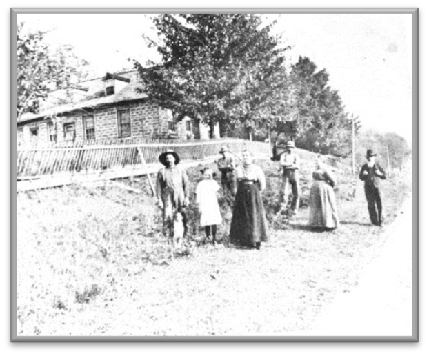
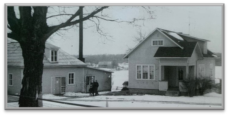 Plum Hollow Cheese Factory on the left and the home of the legendary Claude Flood (cheesemaker) at the right of the factory. Note an old barn in the background.
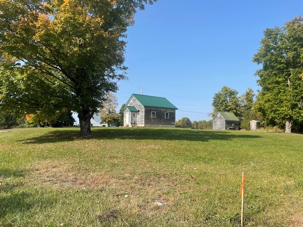
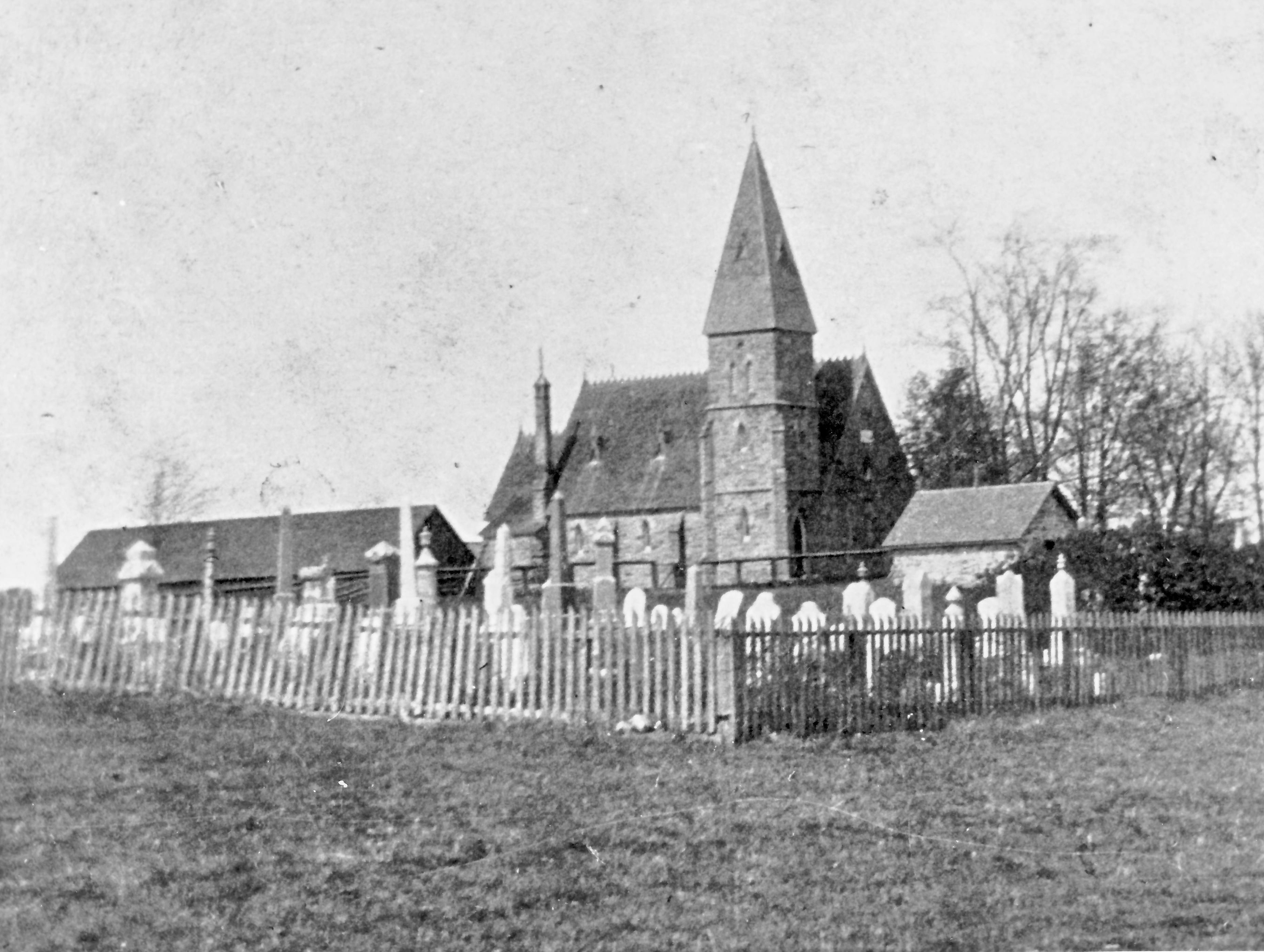
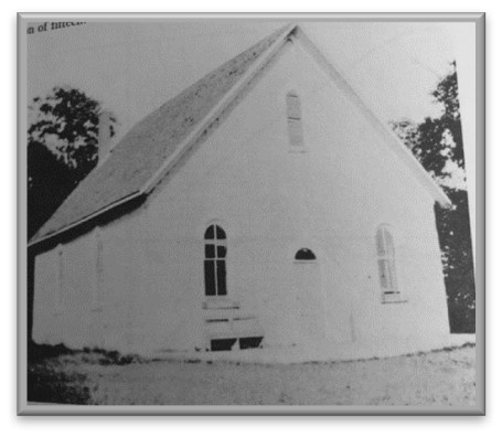 Plum Hollow Baptist Church
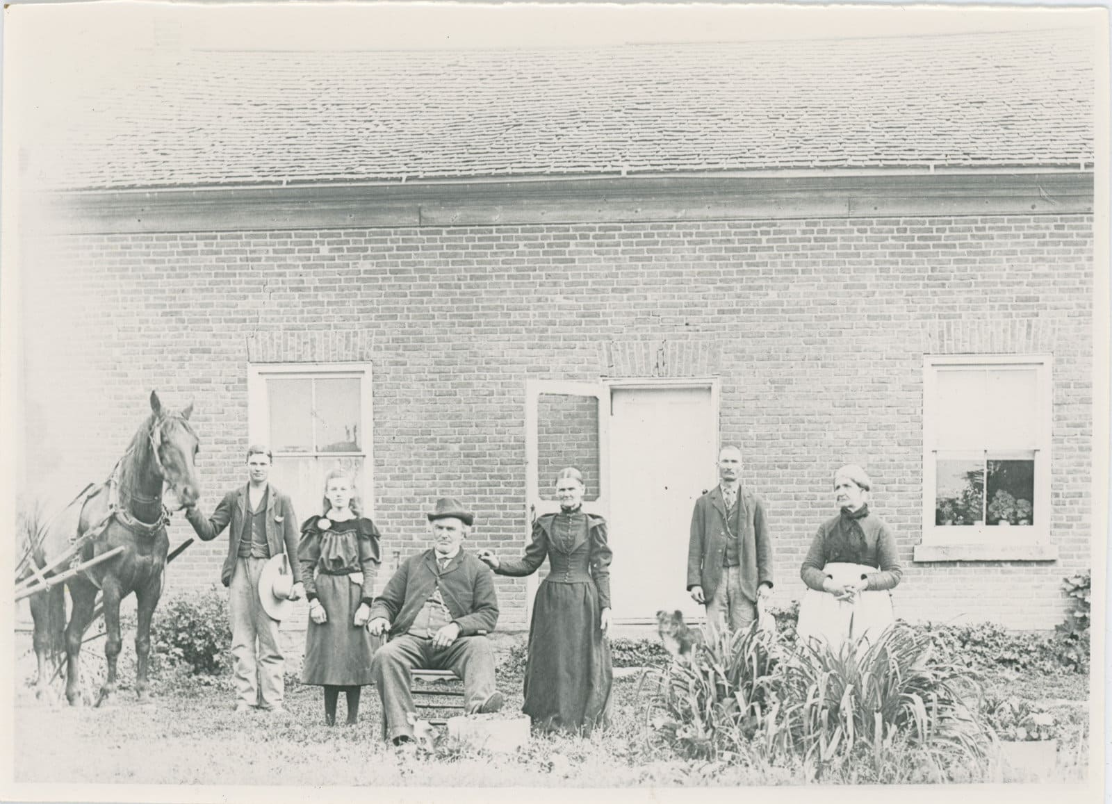
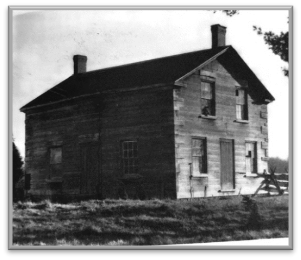
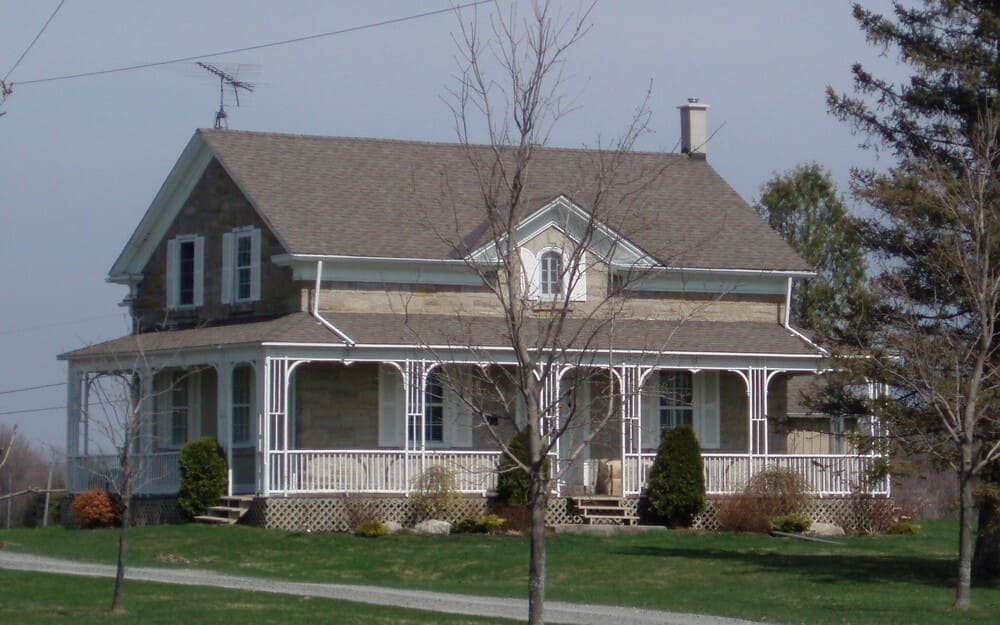
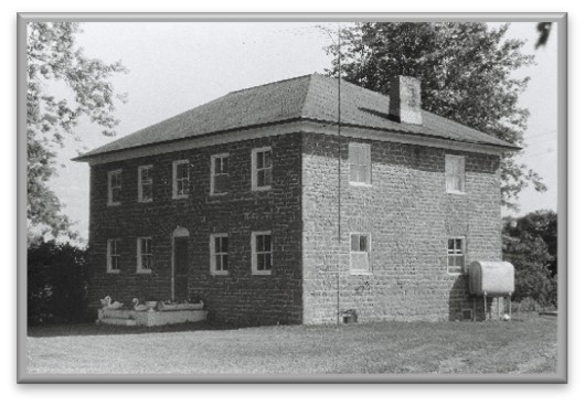 Plum Hollow Jane Wiltse house
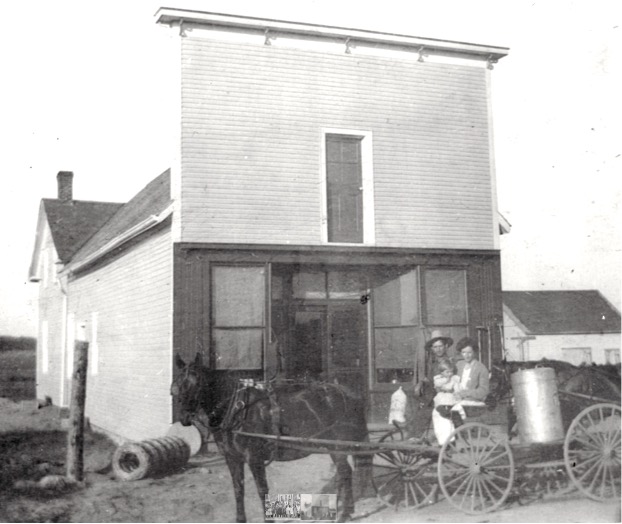
Did you know that the Plum Hollow Cheese Factory was once famous as well? It was known for the best curd in the region and the cheesemaker, Claude Flood, was as legendary as his cheese. Read this post detailing an article on Flood and factory from the Ottawa Citizen in the 1950s. Although the cheese factory isn’t operational anymore, today Plum Hollow still sports the beautiful landscape of hills and valleys that once drew settlers to call the fertile land home.
Similarly, Salem’s name conjures images of witches and fire, but there were no stakes here! Salem is located on the Western edge of the township, and saw its first settlers in the late 1820s. The Salem area soon had a prosperous feel to it, with five stone houses, accenting other early stone, wood-frame and red brick houses around the area. The Salem Cheese Factory produced almost 100,000 lbs. of cheese annually. Even now, three houses from the mid-1800s remain: the Samuel Ripley house, the Alba Taggart house, and the William Ewing house. Each is a one-and-a-half storey, stone house and each retains its original appearance. Read more about Salem.
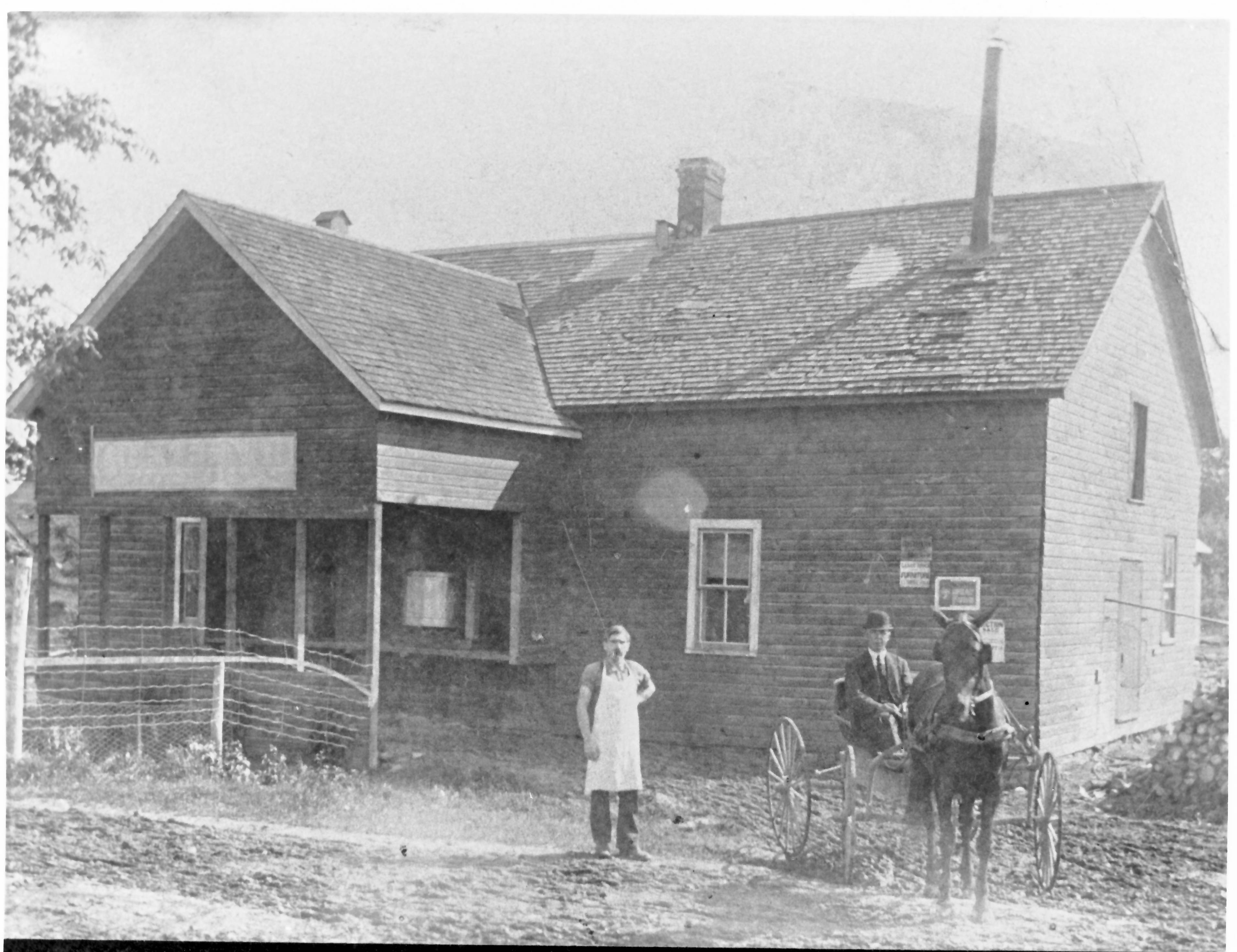
 Salem grocery store
Learn more about the historic settlements of Rideau Lakes!
Historic Settlements
Blair(s) Settlement
Blair(s) Settlement, also known as Centreville, was named for the large Blair family whose homes dotted Concession 9, which later became Perth Road and County Road 10. Read more about Blair(s) Settlement.
The Bush
There are a lot of theories about why this historic settlement is called The Bush, but probably the best explanation is that it was in the “bush” – a wilderness area when the road was named. This part of historic South Crosby was one of the first settled areas in the Township of Rideau Lakes. Read more about The Bush.
 Luther Coon and family
 Dancy home
 Dancy school
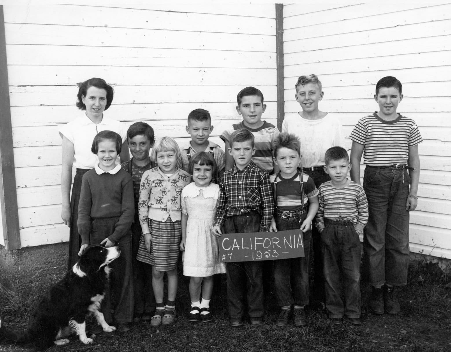
California
Yes, Rideau Lakes has its own California! The historic settlement is located on the west side of Jones Falls in the Canadian Shield. Although there are pockets of soil for farming, the area is very rugged. Wondering why it’s called California? Read on to find out!
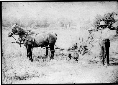 York Brothers
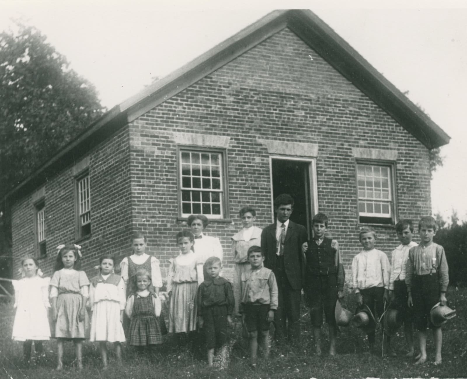
 California School
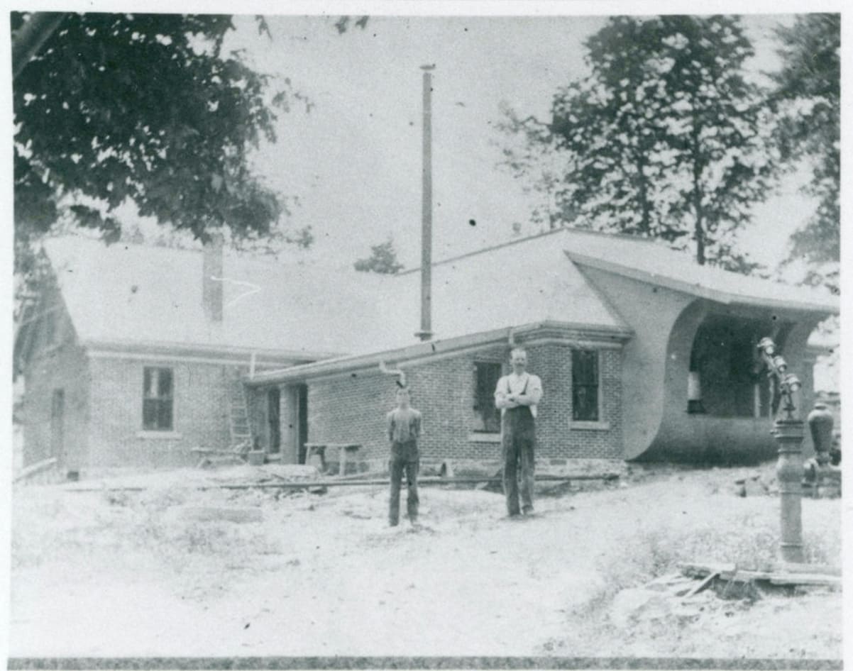 Cheese Factory
Cheney’s Corners
Long before the Village of Elgin stretched east towards where the current Rideau District High School is located, there was a small community at the crossroads called Cheney’s Corners. It was named after the blacksmith there who immigrated to the area from Quebec in the early 1800s. George Cheney bought land east of Elgin and on that corner lot built a large two-storey blacksmith shop and his home and barn. He was known as a true artisan blacksmith, shoeing horses, repairing tools, setting tires on wagons and more. In 1897, he was joined by his grandson, George Howard and they expanded the business building buggies, wagons and sleighs, from a carriage shop on the second floor of the smithy. They even employed a painter! Cheney’s Corners was a hive of activity – around 1900 a livery was added to the business and they got the contract for drawing mail from the Elgin post office to the Elgin Station on the Brockville-Westport Railway. Some of the finest farms in the area were also located at the corners at that time, giving this area a certain high-standing: one owned by Richard Murphy, who was influential in the dairy business of Leeds County, and the other by T. Preston. Accompanying impressive stone and brick houses were built that still stand today. Read more colourful tidbits about Cheney’s Corners in this 1979 issue of the North Leeds Lantern!
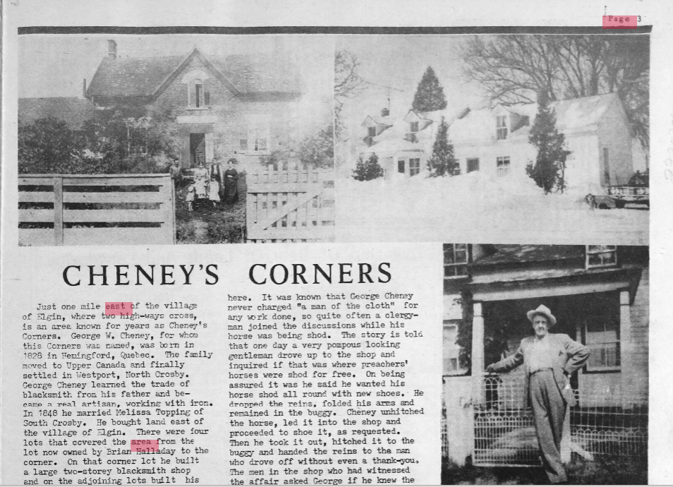 1979 Issue of the North Leeds Lantern - Excerpt re Cheneys Corners
Clear Lake
The Clear Lake Road area started as a pre-canal settlement with mainly Irish-Protestant and some English settlers who were part of the Perth Military Settlements. Land was cleared and family farms became prosperous, but today the shoreline of Clear Lake is dotted with cottages and campgrounds with only one or two operating farms in the area. However, it remains one of the earliest settled areas of the township. Read more about Clear Lake.
 Clear Lake
 Clear Lake School
Cranworth
At one time in the late 1800s and early 1900s, Cranworth was considered a post village in North Leeds County, with one Methodist Church, a saw mill, schoolhouse and a cheese factory. In 1908, it was listed as having a population of 100 residents – rural but still bustling at its peak. Read more about Cranworth.
 SS # 22 South Burgess (Cranworth) Public School
Daytown
The Day family were the first settlers to the area – in fact, they settled along the eighth and ninth concessions in Bastard Township around 1801! Located northeast of the village of Delta, at one time Daytown had its own schoolhouse, two stone quarries, numerous farming homesteads and syrup producers and much more. Read more about Daytown.
 Daytown's Sarah Jane Huffman house
 Daytown's Nelson Lillie house
 Daytown's Lillie Family
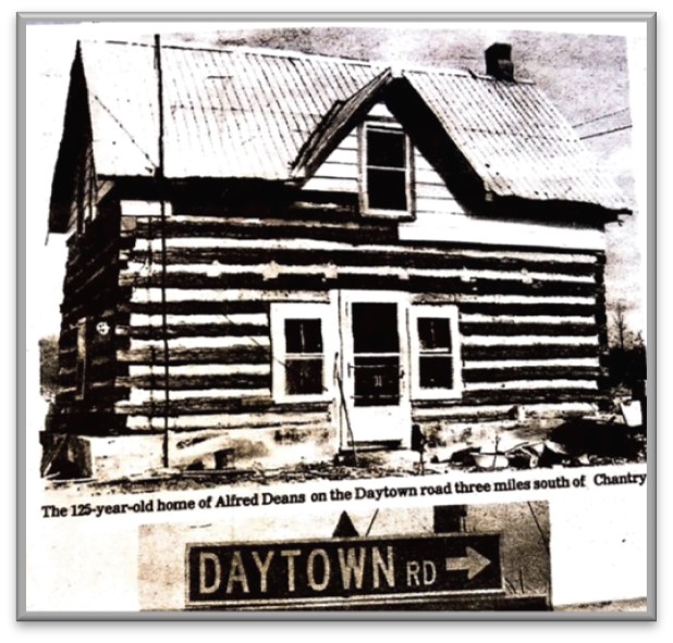 Daytown's Alfred Dean house
Esthertown
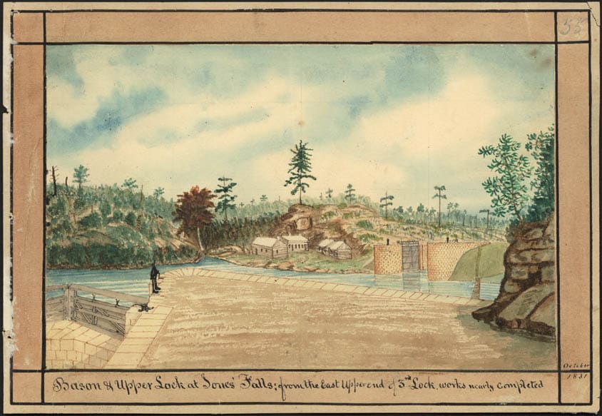
Did you know that one of the largest early settlements in Rideau Lakes was the present-day location of Jones Falls? During the Rideau Canal construction years from 1826-1832, the site was the home of at least 246 workers with additional family members. Yes, you read that correctly! The contractor, John Redpath, a master stonemason from Montreal, recruited a number of Scots, Irish and French-Canadian workers for this project. In honour of Col. John By’s wife Esther, the little settlement was called “Esthertown” also referred to as “Estherville.” Read more about Esthertown.
Fosterville
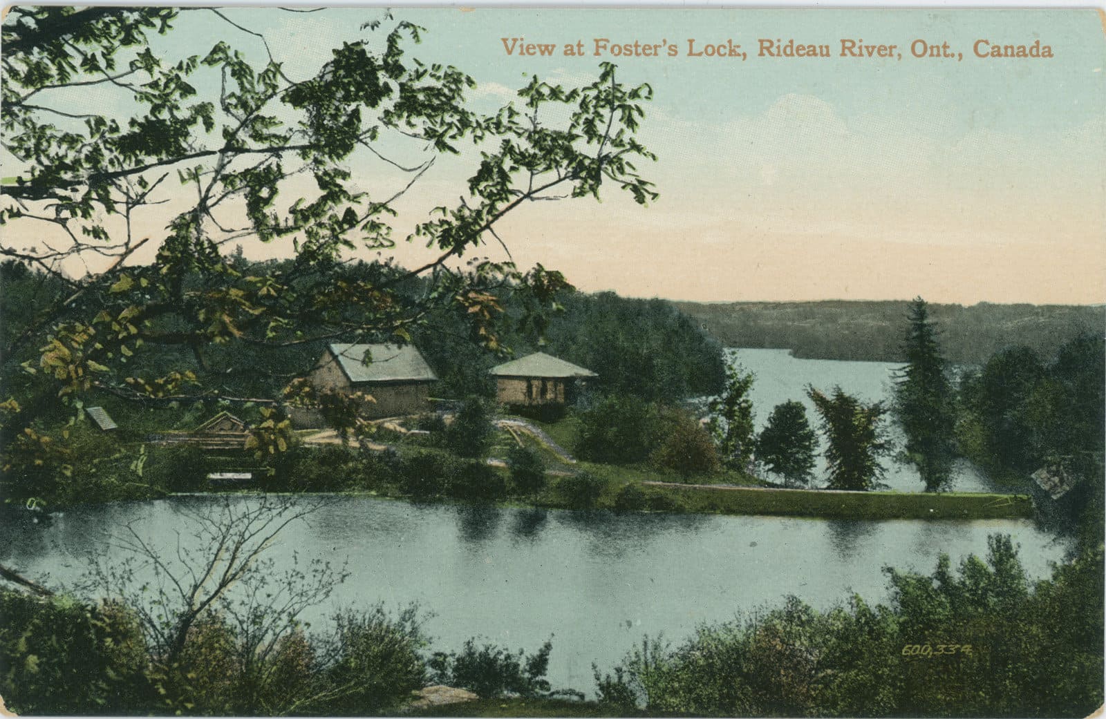
Although the official name of this lock station has always been Davis Lock, most local people until this generation referred to it as Foster’s Locks. In the early 20th century, the area around here was also referred to as Fosterville. Around 1820, Walter Davis Junior, the son of an American settler, took advantage of the waterpower at the future location of the locks and erected a sawmill. Unfortunately, the mill didn’t last very long. When the site was decided upon for a single lock, the mill was destroyed. Davis himself died in 1830 leaving a widow and five children. Read more about Fosterville.
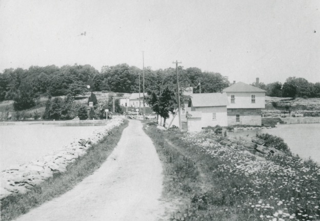
 Davis Lock c1910
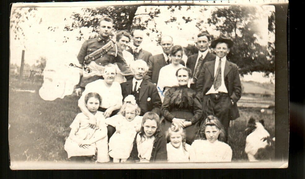 Dennis Mahoney , his wife Ellen and members of the Alford and Mahoney families c 1910
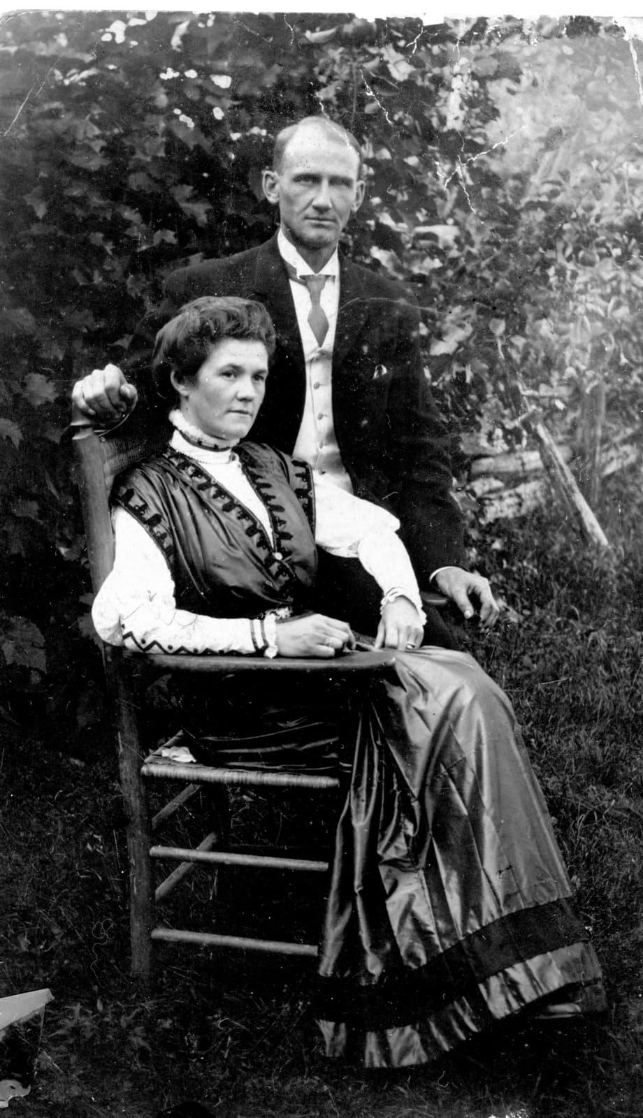 Elah Alford and wife Martha c 1910
Freeland
The community of Freeland, with the former Freeland Public School at its centre, is unusual in providing vivid evidence of mid-19th century agricultural prosperity. Within a radius of several miles exist 10 substantial stone homes/barns, mostly built between 1851-1861 – a testament to the economic well-being of these hard-working farmers. Read more about Freeland.
 Horace Sheldon Home
 Thomas Graham home
 Eaton home
Newboyne
The small hamlet of Newboyne, settled originally circa 1830, had grown by 1900 into a well-established farming community with numerous small farm-based businesses, such as a general store (including a post office which was replaced in 1918 with rural mail delivery) a blacksmith shop, tailor and shoe shop. In the mid-1880s a cheese factory became part of the commerce of the community, lasting well into the 20th century. Read more about Newboyne.
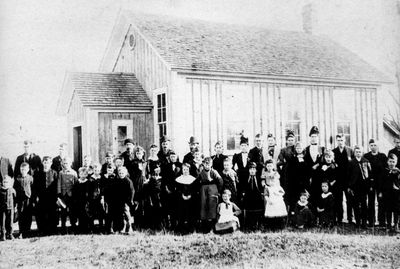
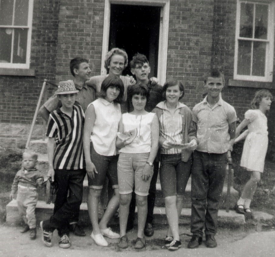 1967, The last grade 8 class of the Newboyne Public School, SS # 2, Bastard & South Burgess
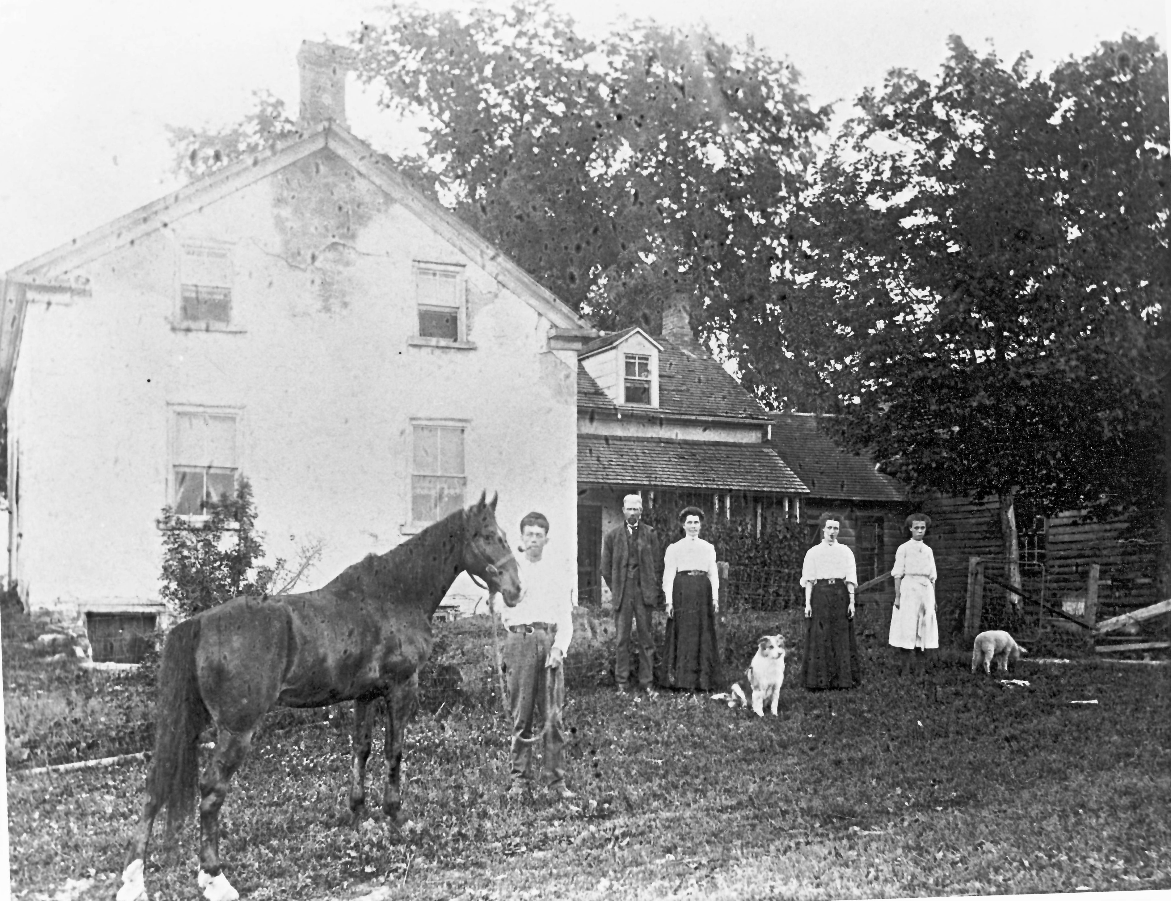 c1860 farm home of one of the pioneering Newboyne families
 St. Peter’s Anglican Church c1875
The Narrows
The name “The Narrows” identifies the narrow point between what are today the Upper Rideau and Big Rideau Lakes. Before the Rideau Canal was built in the 1830s, the entire stretch of water was called, simply, Rideau Lake. At that time, the Narrows were referred to as the “Upper Narrows”, to distinguish them from the “Lower Narrows”, at what is now Rideau Ferry. Read more about The Narrows.
 Narrows Lock Station 1900. Photo from Molly Kennedy
 The Narrows School c 1915
Oliver's Ferry
Oliver’s Ferry, now known as Rideau Ferry, is situated on a narrow channel between Lower and Big Rideau lakes on the Rideau Canal system. It is the narrowest crossing point between the locks at Poonamalie and Rideau Narrows. Today the village spans the crossing, and the southern portion is situated in the Township of Rideau Lakes. Read more about Oliver's Ferry.
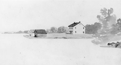 Olivers Ferry c 1850
Otter Lake
Otter Lake, on the south shore of the Rideau waterway, drains into Otter Creek which meanders over 10 miles to the Rideau River. The lake is situated on a limestone plain which formed the bed of the western part of the Champlain Sea from approximately 13,000 to 10,000 years ago. Read more about Otter Lake.
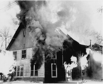 Otter Lake Cheese Factory Fire c 1970
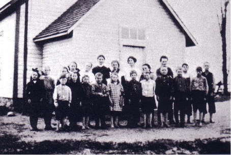
 Otter Lake School. Jen McVeety and her class with parents posing in front of the Otter Lake School (SS#8 South Elmsley) Identified people include William Tweety, William Millar, Copelands, Timothy Toohey, Albert Wood, Edward Wood, John Wood, Robert Wood and Charlie Looby.
Many of these historic settlements still remarkably exist in one fashion or another; with a little imagination, visitors can picture small communities forging through daily life – in some cases more than 200 years ago!