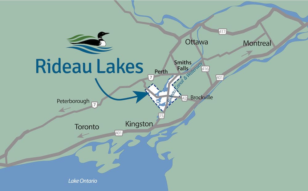


Rideau Lakes is located in the heart of eastern Ontario, half an hour north of the City of Kingston, on Lake Ontario, and an hour south of Ottawa, the Nation’s Capital. We’re not far from Toronto and Montreal, and just a hop and jump from New York State. Several international bridges and 400 series highways make us very accessible.
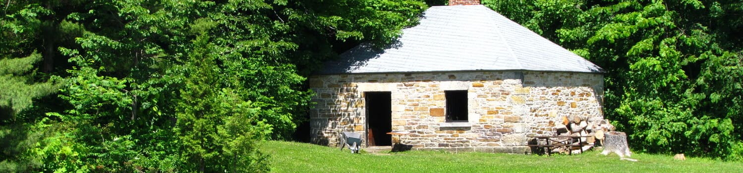
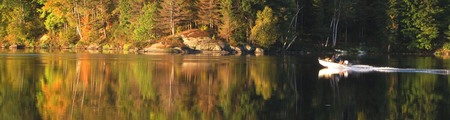
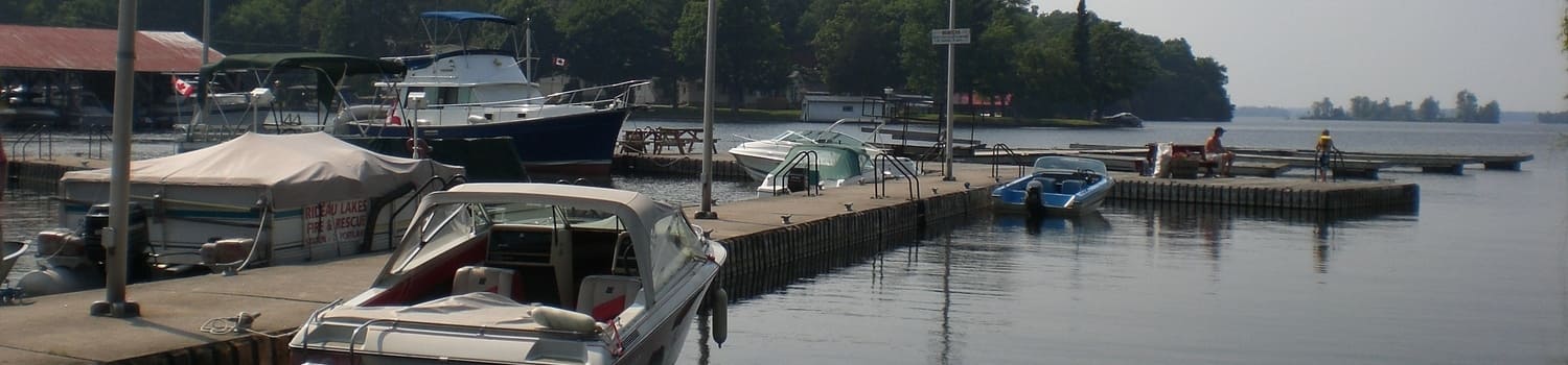
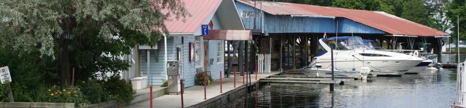
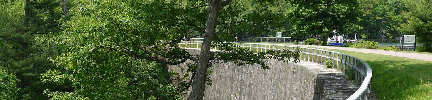
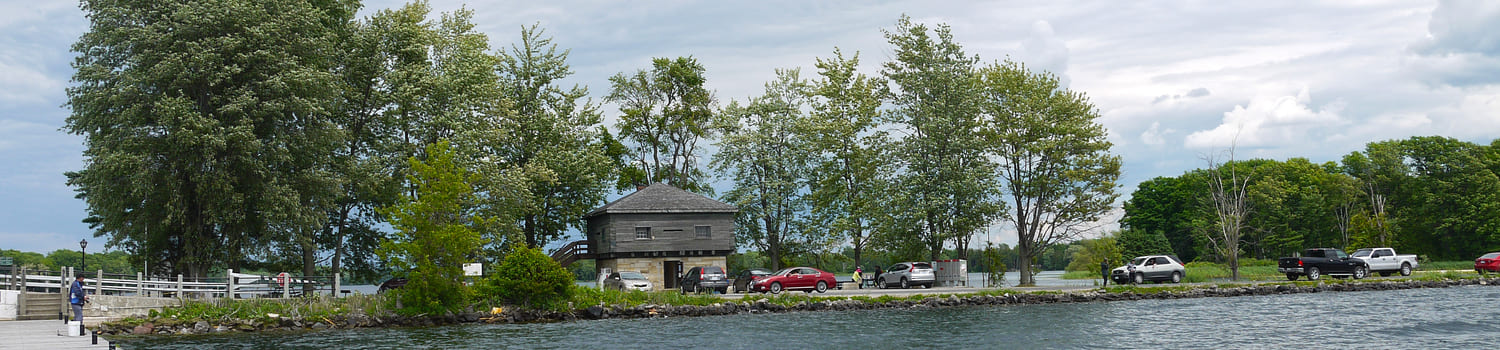
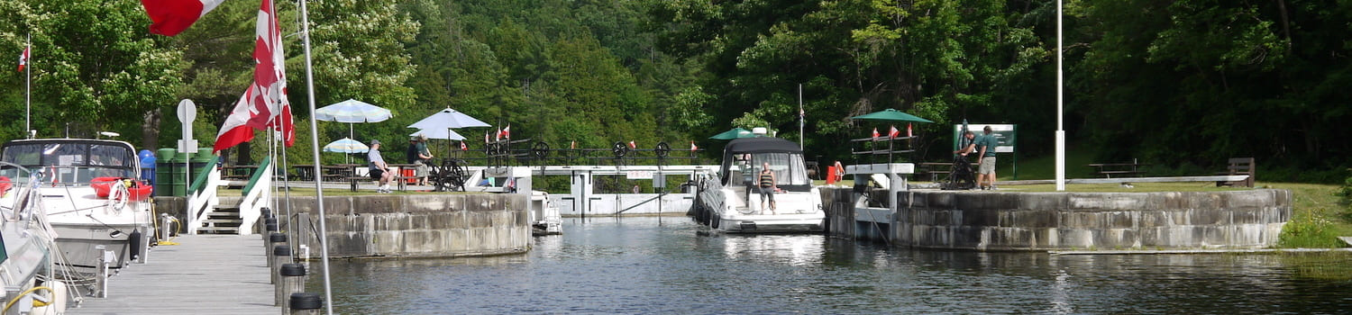
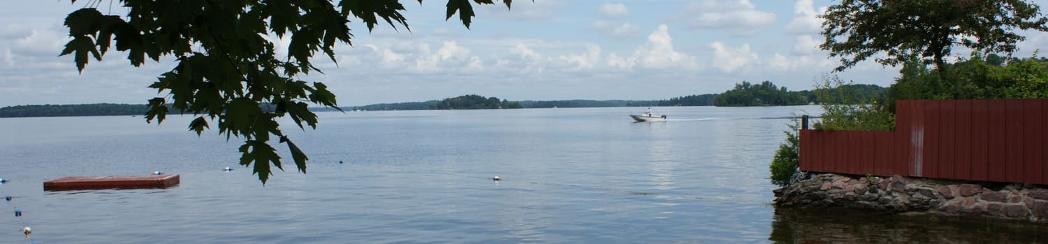
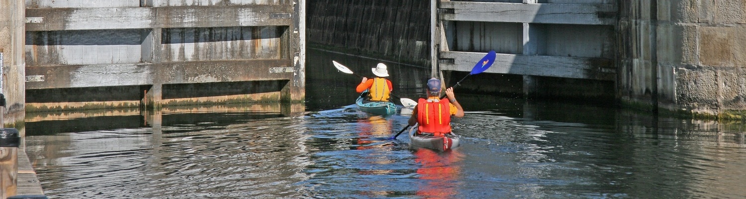
The historic Rideau Canal and Waterway – a UNESCO World Heritage Site - runs directly through the area, connecting the many lakes, towns and villages in our community. Bring your cruiser, fishing boat, canoe or kayak and explore our lakes and waterways. By road, you can easily crisscross our township via County and Township roads.
2025 to 2027 Notice:
Brass Point Bridge Temporary Long-Term Closure
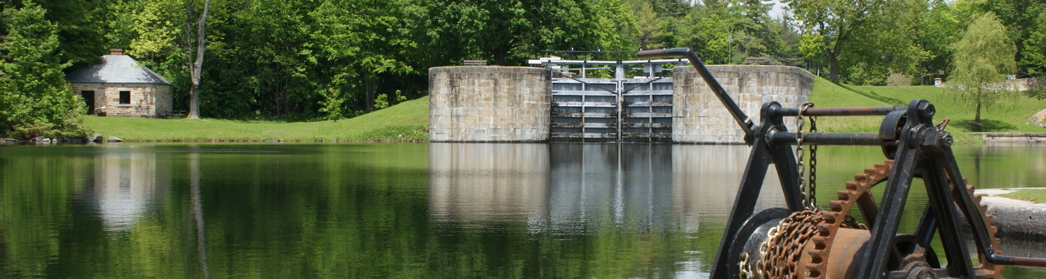
Rideau Canal National Historic Site
Parks Canada is advising the public of the upcoming comprehensive replacement of the Brass Point Bridge in Seeley’s Bay. This project will replace both the historic swing and fixed bridges, upgrade roadway infrastructure, and ensure the long-term safety and functionality of this key crossing on the Rideau Canal National Historic Site.
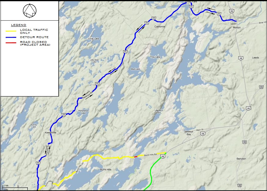
As part of the project, the bridge will be closed to vehicular traffic for the duration of construction—beginning in the winter of 2025 and concluding at the end of 2027. During this period, a detour route will be provided. For example, routes alternative to Highway 15 from Kingston into Rideau Lakes include County Road #10 (Division Street/Perth Road) and County Road 11 (Montreal Street/Battersea Road). Detour map:
Navigation for watercraft using the canal will remain uninterrupted.
The project includes:
- Complete replacement of the swing bridge’s timber superstructure, mechanical/electrical components, as well as a rehabilitation of the pivot pier, and west abutment.
- Repairs of the fixed bridge including sandblasting, recoating of the metal superstructure, and replacement of timber stringers and deck.
- Associated roadway improvements, including elevation adjustments and the construction of a road shoulder.
A virtual information session is scheduled for July 30 from 3 p.m. to 4 p.m. to provide additional details on the project, discuss the present detour, and answer questions from municipal partners and the public. To join the stakeholder list and receive updates and an invitation to the information session, please email
Please note: A temporary pedestrian crossing will be established during the construction period, accessible outside of boating navigation hours and during the non-navigation season.
An environmental impact assessment has been completed in collaboration with Transport Canada under the Impact Assessment Act (IAA), ensuring that measures are in place to protect navigation, aquatic habitats, wildlife, and adjacent vegetation.
Parks Canada appreciates the community’s patience and understanding as we undertake this critical project to ensure Brass Point Bridge continues to be a safe crossing for vehicles and to preserve its structural and cultural heritage.
How to Find Us
| From | km | miles | Estimated Driving Time |
|---|---|---|---|
| Toronto, Ontario | 322 | 200 | 3 hrs 15 mins. |
| Trenton, Ontario | 160 | 99 | 1 hr. 44 mins |
| Kingston, Ontario | 74 | 46 | 45 mins. |
| Ottawa, Ontario | 133 | 82 | 1 hr. |
| Montreal, Ontario | 225 | 139 | 2 hrs. 10 mins. |
|
|
|||
| New York, New York, U.S.A. | 596 | 370 | 6 hrs. |
| Detroit, Michigan, U.S.A. | 680 | 422 | 7 hrs. |