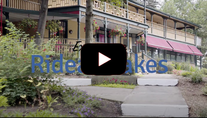
EXPERIENCE

Historic Settlements
Blair(s) Settlement, also known as Centreville, was named for the large Blair family whose homes dotted Concession 9, which later became Perth Road and Country Road 10.
Most of the Briar Hill area is located in the former township of the Rear of Leeds and Lansdowne but the present Fortune Line Road is shared with South Crosby Ward.
There are a lot of theories about why this historic settlement is called The Bush, but probably the best explanation is that it was in the “bush” – a wilderness area when the road was named. This part of historic South Crosby was one of the first settled areas in the township.
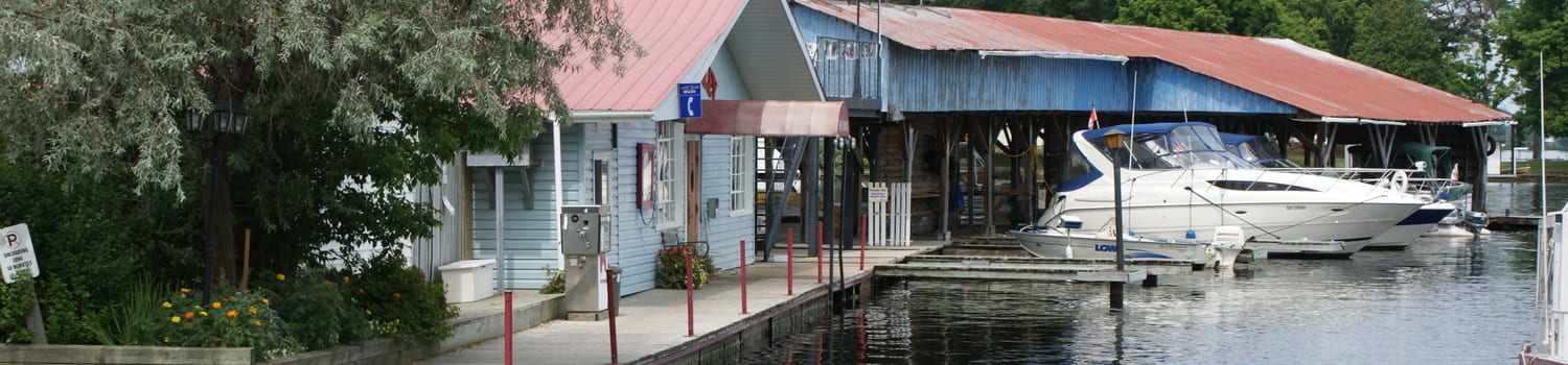
The historic settlement of California is located on the west side of Jones Falls in the Canadian Shield. Although there are pockets of soil for farming, the area is basically very rugged. The first question most people ask is about the origin of the name.
The story of Cheney’s Corners starts with the Pennock family. Chapman Pennock, whose family originally had come from Vermont, married Irene Deming and within three years in 1811 settled in this area. Pennock as well as farming worked as the first teacher in South Crosby in a school which was probably in this area. In addition to this he worked as a township clerk in the early 19th century. Chapman and Irene had a large family – ten boys and two girls.
The Clear Lake Road area started as a pre-canal settlement with mainly Irish-Protestant and some English settlers who were part of the Perth Military Settlements.
Cranworth, a post village in North Leeds county ontario on the rideau river, 10 miles from the CPR station of Smiths Falls, 28 miles north of Brockville and 46 miles south of Ottawa city. It has 1 methodist church, 1 saw mill and 1 cheese factory. Population 100
Located northeast of the village of Delta, the Historic Settlement of Daytown starts at Cty Rd 42 in Delta along the Upper Beverley Lake through to Cty Rd 5 linking to the settlement area known as Plum Hollow.
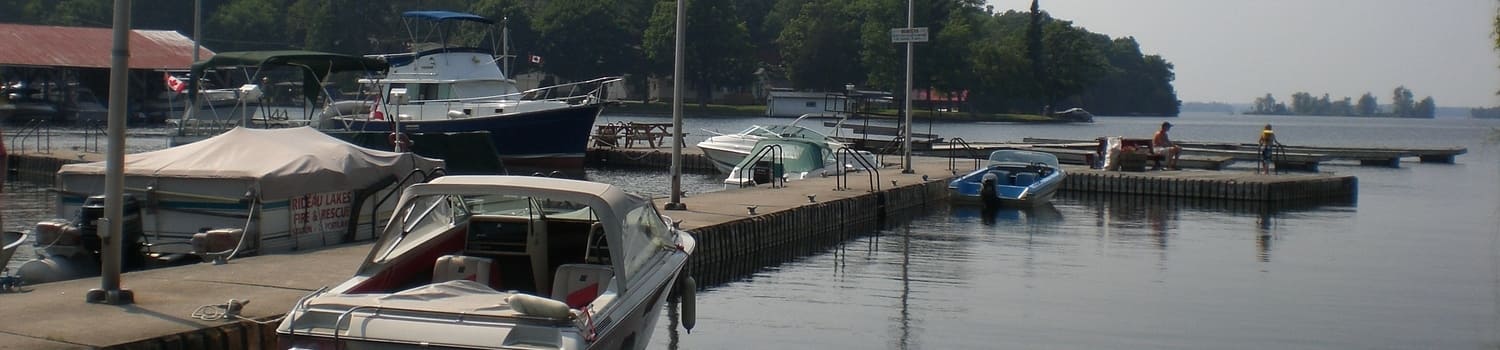
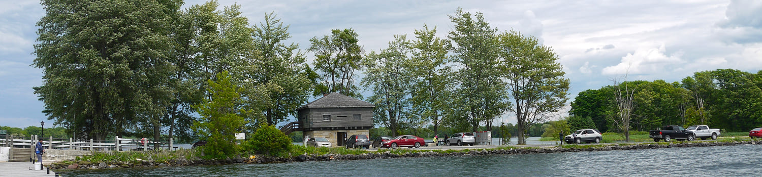
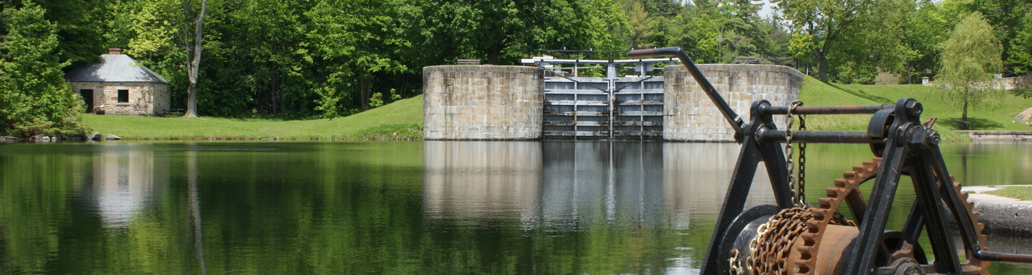
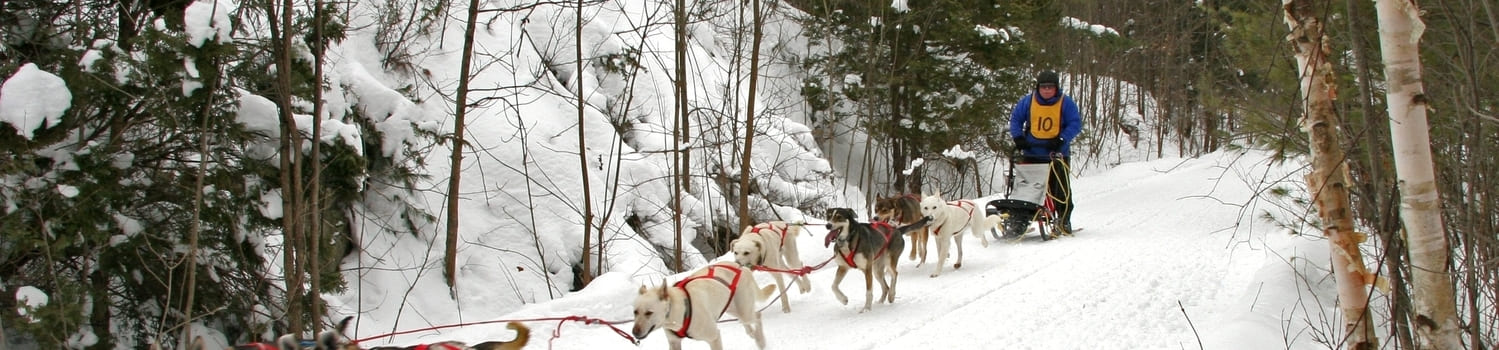
One of the largest early settlements in Rideau Lakes was the present-day location of Jones Falls. During the canal construction years from 1826-1832, the site was the home of at least 246 workers with additional family members. The contractor, John Redpath, a master stonemason from Montreal, recruited a number of Scots, Irish and French-Canadian workers for this project. In honour of John By’s wife Esther, the little settlement was called “Esthertown” also referred to as “Estherville.”
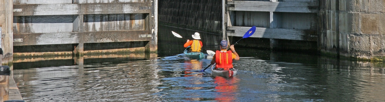
Although the official name of this lock station has always been Davis Lock, most local people until this generation referred to it as Foster’s Locks. In the early 20th century, the area around here was also referred to as Fosterville. Around 1820, Walter Davis Junior, the son of an American settler took advantage of the waterpower at the future location of the locks and erected a sawmill. Unfortunately, the mill didn’t last very long. When the site was decided upon for a single lock, the mill was destroyed. Davis himself died in 1830 leaving a widow and five children.
The community of Freeland, with the former Freeland Public School at its centre, is unusual in providing vivid evidence of mid 19th century agricultural prosperity.
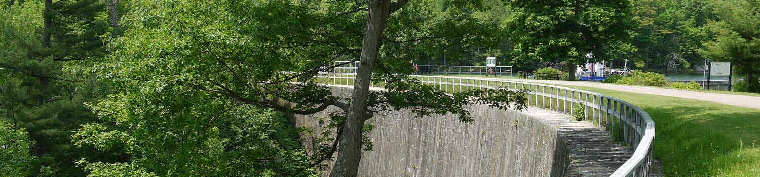
The name “The Narrows” identifies the narrow point between what are today the Upper Rideau and Big Rideau Lakes. Before the Rideau Canal was built in the 1830s, the entire stretch of water was called, simply, Rideau Lake. At that time, the Narrows were referred to as the “Upper Narrows”, to distinguish them from the “Lower Narrows”, at what is now Rideau Ferry.
More...
The centre for religious (and social) Newboyne life, for approximately a century and a half, was this imposing c1875 St Peter’s Anglican Church, one of the most striking and elegant churches of the township. This building replaced an earlier c1850 frame structure. The appealing photo reveals the church, shed for horses, with the cemetery and stone vault ( for storage of caskets during the winter months when the ground was frozen) located across the road: a reminder of the once important role of the Anglican church in the rural Newboyne community (in 2017 the church was deconsecrated with a subsequent sale to a private owner). The cohesiveness of community was completed with a brick one room school (demolished in 2025) situated on an adjacent lot.
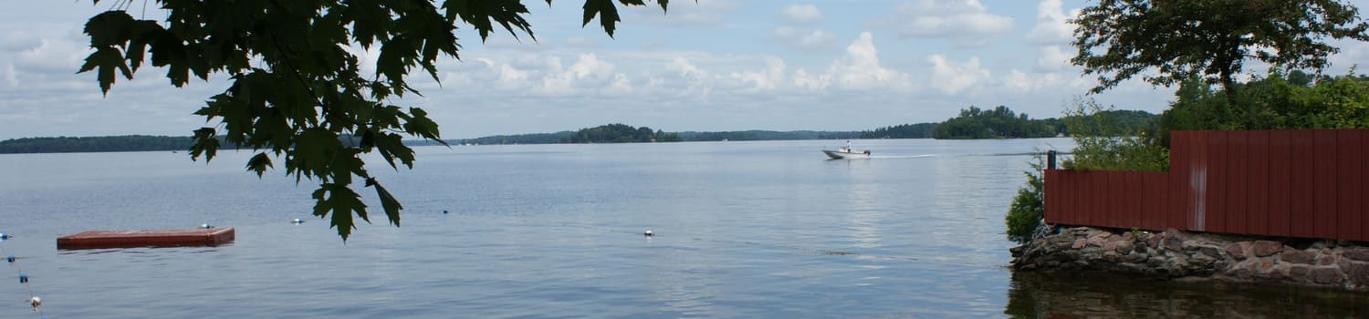
Oliver’s Ferry, now known as Rideau Ferry, is situated on a narrow channel between Lower and Big Rideau lakes on the Rideau Canal system. It is the narrowest crossing point between the locks at Poonamalie and Rideau Narrows. Today the village spans the crossing, and the south part is situated in Rideau Lakes township.
Otter Lake, on the south shore of the Rideau waterway, drains into Otter Creek which meanders over ten miles to the Rideau River. The lake is situated on a limestone plain which formed the bed of the western part of the Champlain Sea from approximately 13,000 to 10,000 years ago.
It has been determined that Bastard Township was first settled by Elder Abel Stevens who arrived from Vermont in the early 1790s. In 1794, he was granted land where he finally settled and named the community Stevenstown, now known as Delta.
Page 1 of 2