

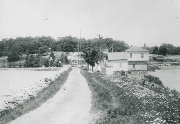
 Narrows Lock Station, 1900,
Photo from Molly Kennedy.The name “The Narrows” identifies the narrow point between what are today the Upper Rideau and Big Rideau Lakes. Before the Rideau Canal was built in the 1830s, the entire stretch of water was called, simply, Rideau Lake. At that time, the Narrows were referred to as the “Upper Narrows”, to distinguish them from the “Lower Narrows”, at what is now Rideau Ferry.
The (Upper) Narrows was a geographically important point on Rideau Lake. At only 363 feet wide and a foot deep, it was used as a ford to cross the lake.1 Even after Oliver (now Rideau) Ferry was established, the Narrows was the only crossing point of Rideau Lake for 30 km, between Rideau Ferry and the west end of the lake.
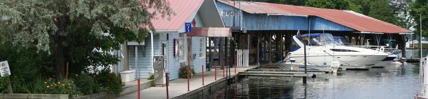
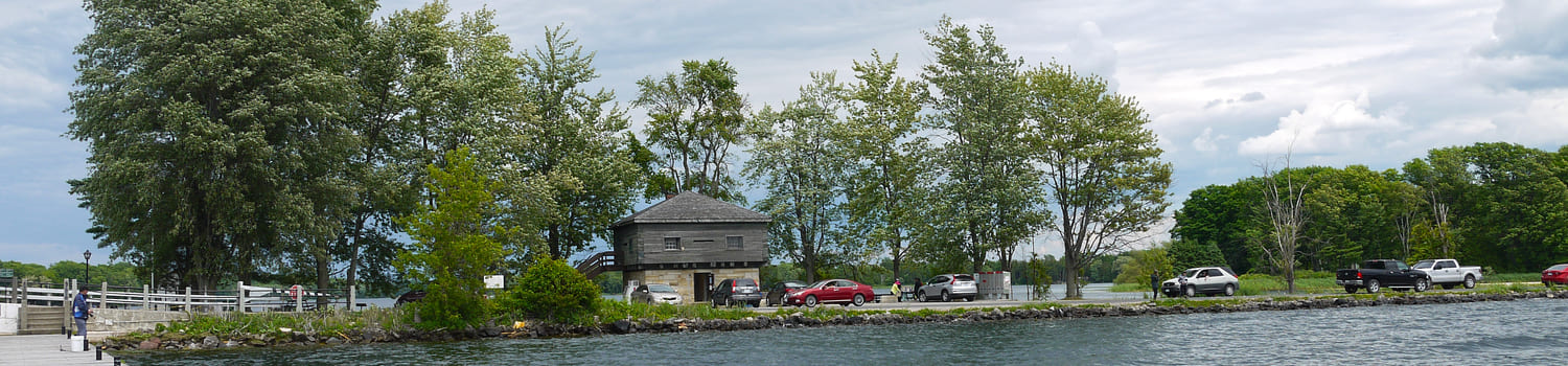
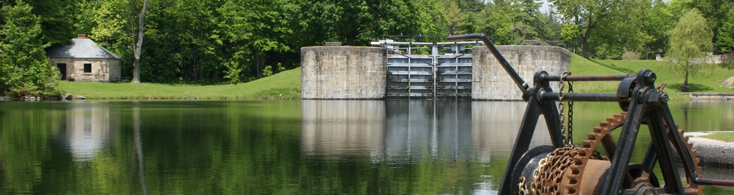
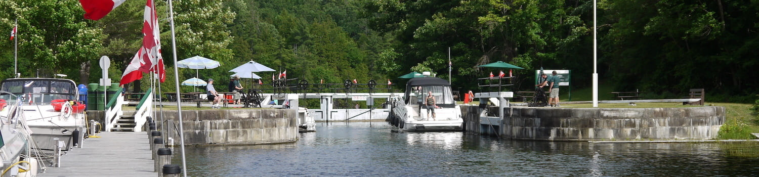
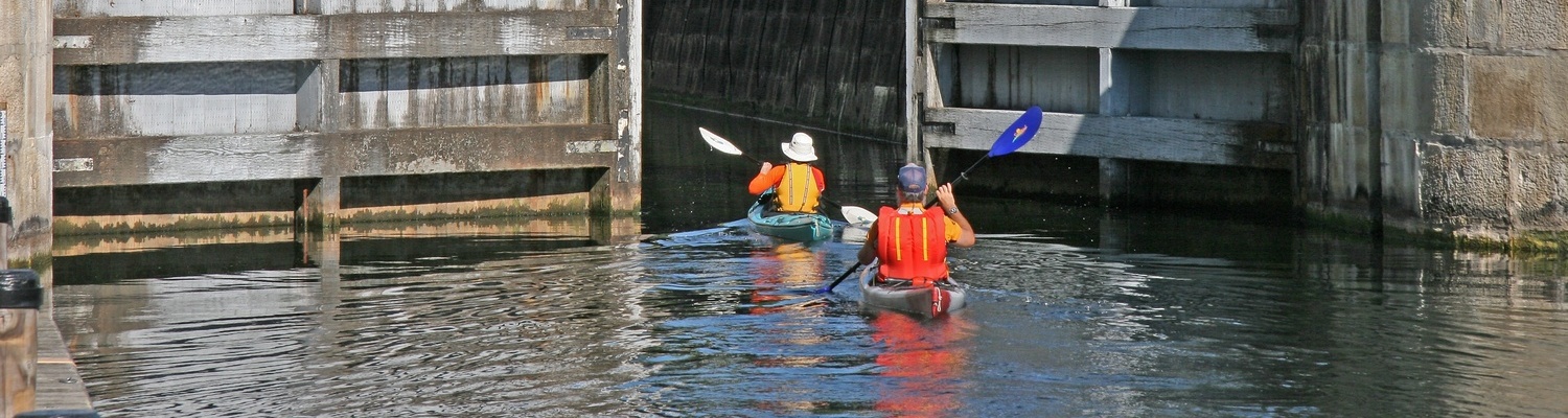
When the canal opened in 1832, a lock and a dam at The Narrows raised the water level in Upper Rideau Lake by 2.4 metres (8 feet). As the canal was originally built as a part of British North America’s military defence infrastructure, a blockhouse was constructed at The Narrows lock station. It was built with a stone masonry lower level and a squared-timber second level. Gun loop-holes were cut into the squared timbers, and an exterior stair case provided access to the second floor. Designed by Colonel By, it was one of only four blockhouses that were constructed on the Rideau Canal. Today, this blockhouse is listed on Canada’s Register of Historic Places.2
The first lockmaster was Archibald Sands, a former member of the military, from the Sappers and Miners. He seized on the opportunity to remain in Canada after the completion of the canal construction by accepting the position of lockmaster.
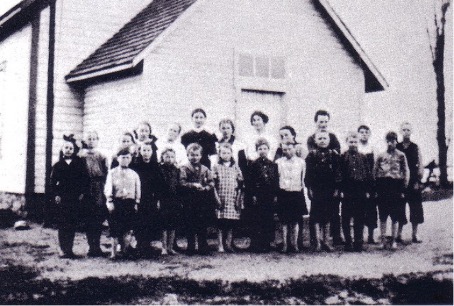 The Narrows School in 1915.The local school, at the corner of Narrows Lock Road (CR14) and Merkley Road started out as a Public School and later became a Catholic Separate School. This shift resulted from a changing demographic in the area, with the influx of Irish immigrants. It was an important building for the community, both as a school and as a community gathering place in a time when there were few institutional buildings.
In the 1960s, when many one-room schools were being closed, there were several heated meetings with people from the school’s catchment area to discuss the closure. The last school Inspector for the area, Jim Jordan, described the penultimate evening meeting that took place with parents and neighbours inside the school. As the discussion wore on, the men in the group slipped in and out of the building, rejoining the debate with ever-more rowdy remarks. After the meeting had dispersed, the Board Chairman, Maurice McNamee, suggested that, since no decision had been reached that night, that the next meeting be held at the newer and larger St. Edward’s School in Westport. Only the Board executives showed up to that final meeting. The motion to close the three one-room schools on The Mountain passed, including the school in The Narrows.
While the area between the school and the lock are now largely forested, the 1862 map of North Crosby Township shows much farm acreage along Concession 1 – now Narrows Lock Road. Acreage at that time was owned by Mrs. McGlade, J. Lappin, P. Longrin, W. Mooney (Lockmaster), T. Grinnon, and O. Murphy.3
By 1888, E. J. Grennon was operating the Rideau Valley Implement and Machine Agency, in this historic hamlet. He advertised in the Farmersville Reporter and County of Leeds Advertiser that he offered plough and machine repairs, and the sale of binder twine.
Today, the only remaining evidence of the hard work of these early farmers and merchants, is the string of old cedar fences that are still visible along the road.
On the 1862 North Crosby Township map, the font size of the place-name identifying the NARROWS is as large as that of Westport and Newboro. Today, the community of The Narrows is only evident as a place with a former school - now a private residence, and the canal lock station, which are about 2.5 km apart.
By Allison Margot Smith
Municipal Heritage Advisory Committee, Township of Rideau Lakes.