


This mapping application is provided by the United Counties of Leeds and Grenville in partnership with Rideau Lakes. These applications, maps, data sets, and other information on this website as a public information resource. Every reasonable effort has been made to insure their accuracy. However, the representations depicted and information retrieved here are only as accurate as the source. Further, information that feed the applications, maps, and data sets on this website are updated only periodically and, therefore, may not reflect the most current conditions.
Active Planning Applications Map
This map provides an overview of all active Minor Variance and Zoning By-Law Amendment Applications in the Township.
Zoning Map
The Zoning By-Law establishes and regulates the use of land across Rideau Lakes. It contains specific legal regulations such as what types of activities can take place and where. It allows us to coordinate land use, protect areas, prevent incompatible uses and establish appropriate standards for development.
If your property is not located in a zone that would allow your type of business, you may wish to discuss a rezoning application with the Development Services department.
Official Plan Map
The Township’s Official Plan was approved by the United Counties of Leeds and Grenville in June, 2022. The Official Plan contains policies which are intended to guide public and private interests in such a way as to ensure the best form of development under the most desirable conditions. In addition, the Official Plan sets out guidelines for the preparation of municipal regulations which implement the Plan, establishes policies to govern both the division and development of land, and finally, identifies public actions which need to be taken to support private development. An Official Plan Amendment is required if a proposed development is not permitted by the Official Plan.
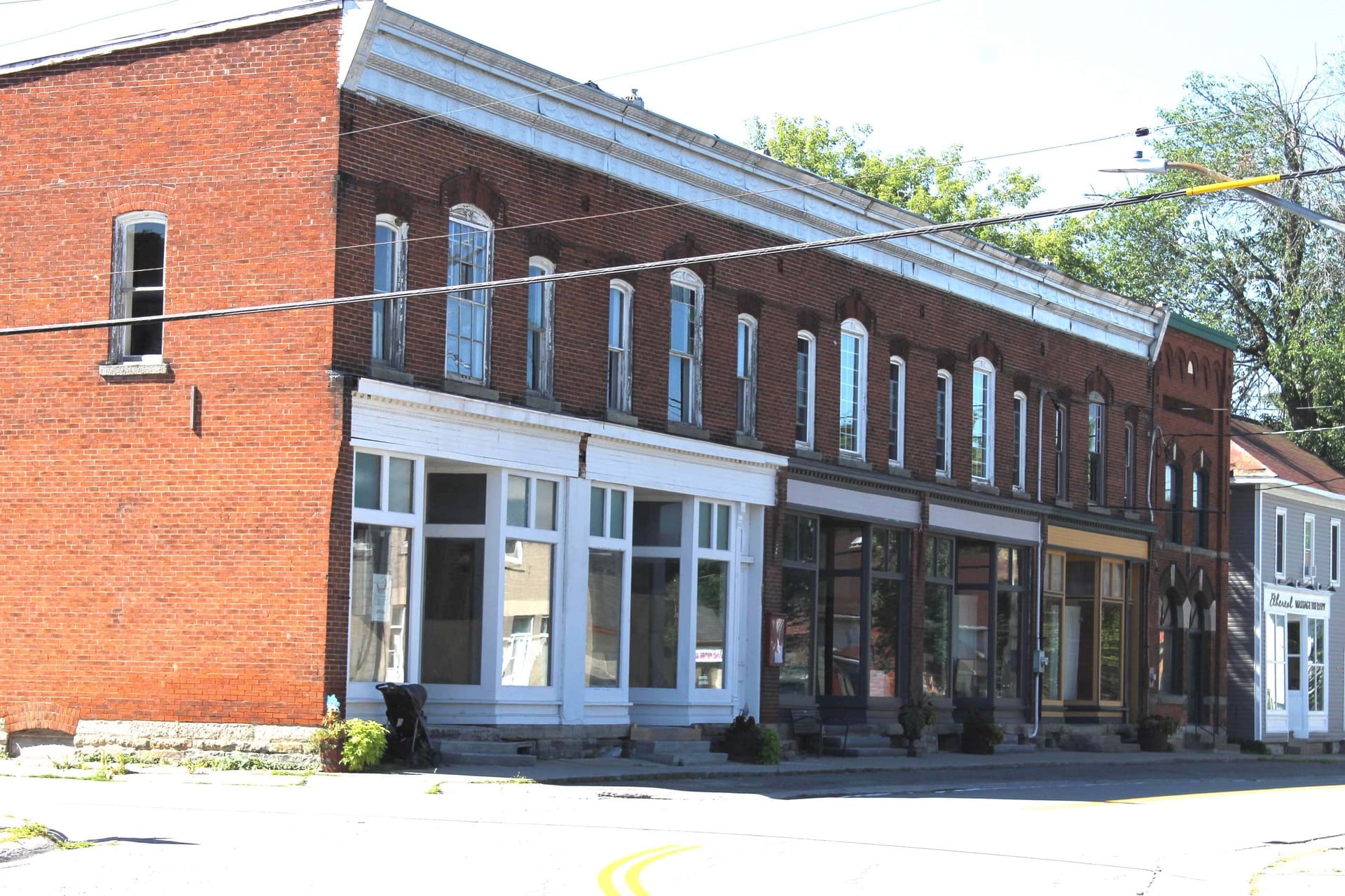
Cultural Heritage Map
Heritage properties are evaluated for designation or inclusion on the municipal heritage register using a set of criteria that measures architectural, contextual and historical significance.