The following description, published in Lovell’s Gazetteer of the Dominion of Canada, 1908 portrays the dispersed rural community located in the South Burgess section of Bastard and South Burgess ward.
Burgess Township, surveyed in 1812, is bisected by the large, wide Big Rideau Lake. In 1841 the northern and southern parts of the township became separate municipalities, with the southern section uniting, in 1849, with Bastard Township. With the creation of Rideau Lakes Township in 1998 Bastard and South Burgess became a ward within the new municipality.
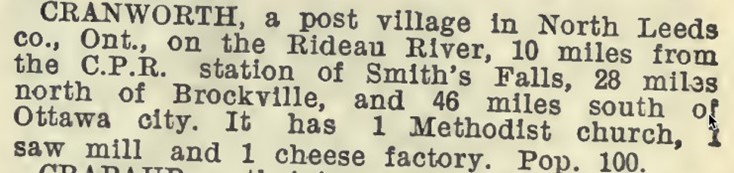
 Mid 19th century map of South Burgess
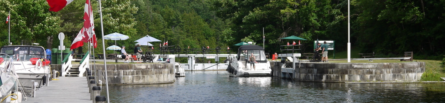
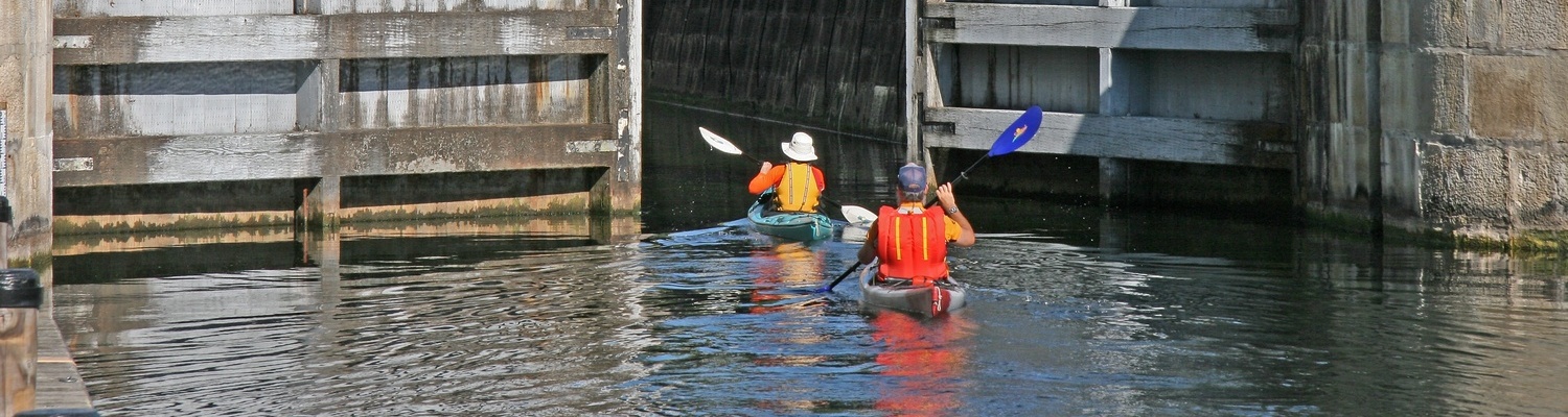
In the mid 1800s European settlers, particularly Irish, arrived in the area, particularly as the better farm land to the south had been allotted. Several factors facilitated settlement in South Burgess: the construction of the Rideau Canal, 1826-32, and the Kingston Highway running parallel to the Big Rideau Lake, passing through Portland on the way to Oliver’s Ferry (Rideau Ferry) and Perth, the main land route for stage coach travel with passengers and mail.
A number of small homesteads, now largely abandoned, were spaced along the Kingston Highway, with the earlier homes/farms settled along the shores of the lake.
Due to the rough terrain the South Burgess roads did not follow concessions (as was the norm in other townships) although farms were surveyed in a uniform grid. As a result some farms were settled in places remote from current roads.
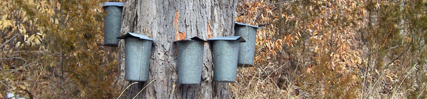
Early settlers in South Burgess were met with a challenging landscape of shallow soil combined with tough bedrock, for the vast Canadian Shield of South Burgess threw up roadblocks that made farming very difficult. Many farmers were unable to grow enough crops to sustain their families; some turned to logging, trapping and maple syrup production, and, by the latter part of the 19thc, mining.
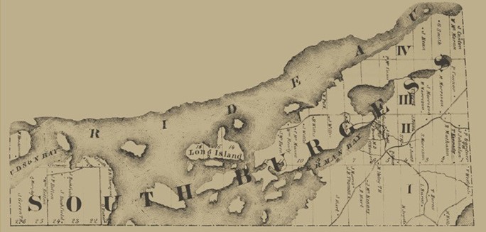
One thing that the hard rock of eastern Ontario had in abundance was minerals. Veins of mica, apatite, and feldspar were discovered. To make ends meet, some settlers/farmers found new sources of income.
More than a century ago, Eastern Ontario was one of the mica mining capitals of the world; mica, was fashioned into sheets of glass-like, thermal windows for lanterns, wood stoves and even French Navy battleships (shipped out in barges travelling the Rideau Canal). One of these mines was the Canton mine. In 1864 a South Burgess land holder, John Canton, sold mining rights to his farm with varying owners over the decades, including the General Electric Company of NY state. Included on the property were the large pits as well as a log bunkhouse and cookhouse. Local men supplemented their income by working at the mines during the winter.
 Mica mining in North Burgess
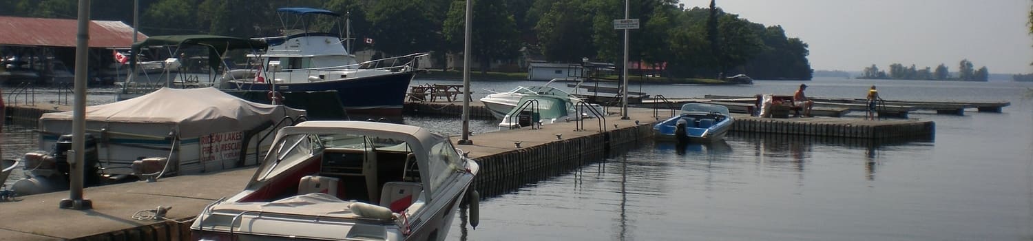
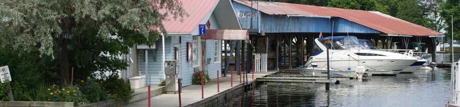
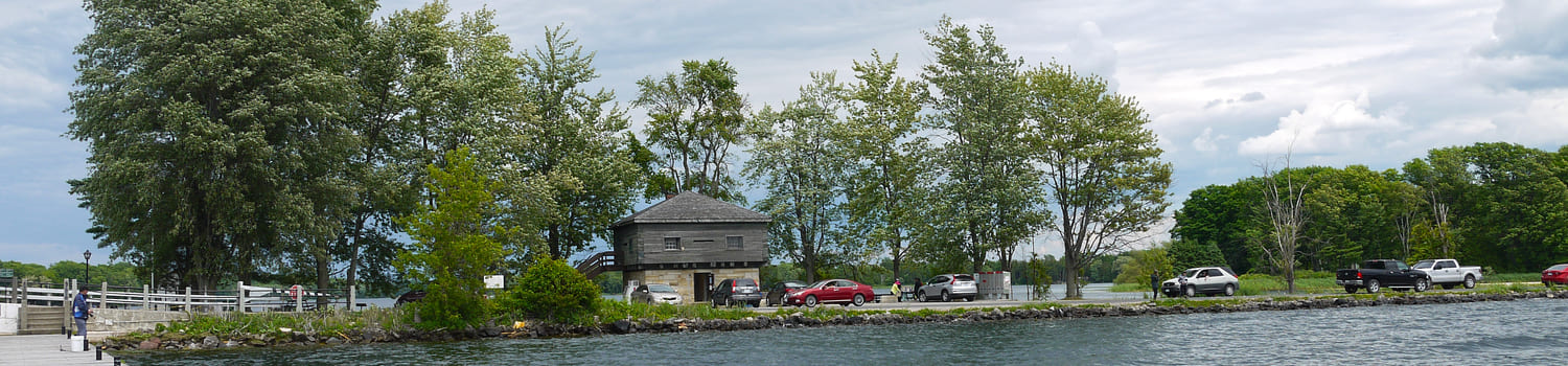
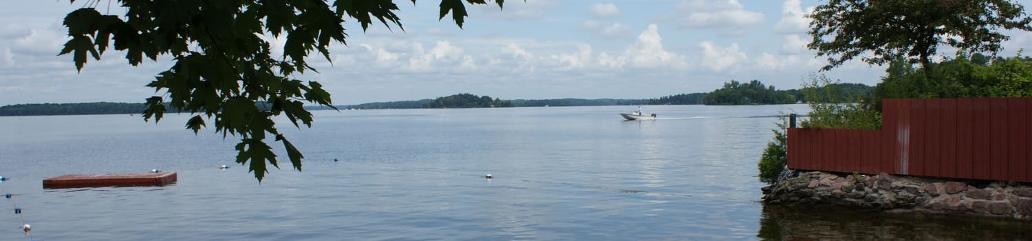
In the late 1800s numerous Ottawa residents began to purchase property along the shores of several bays in South Burgess for summer residences. The Rideau Canal offered regular boat service and a government dock was built along the main channel. In order to obtain a steamer stop one would listen for the boat whistle as it pulled out somewhere down shore, then standing on one’s wharf, wave a white flag. Frequent stops were made at a well known summer resort, Garrett’s Rest, located on an island, which operated in the early years of the 20th century (a 1914 guide book lists the daily rate for Garrett’s Rest at $1.00-1.50). Also a water taxi from Portland offered access to summer cottages to those who had arrived at the village train station.
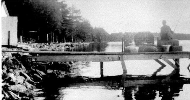 Waiting for a Big Rideau Lake Steamer
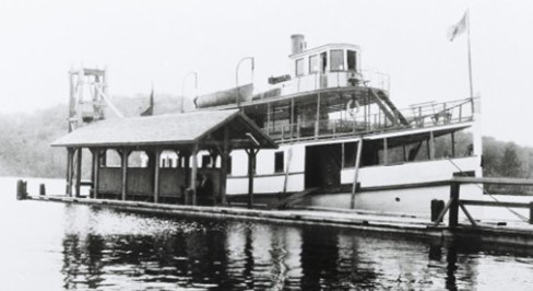 Big Rideau Lake steamer in Portland
Also located along Kingston Road was SS # 22, South Burgess. The exact date for the establishment of the school is unknown, although according to the 1851 census children were attending school. The first school was log, replaced in 1894 by a large frame building which was used until an 1959 fire destroyed the structure. Since the South Burgess community was determined to keep this remaining local institution, families quickly rallied to convert a vacant farm house into a temporary school with classes resuming within two weeks. One of the home conversion plans involved rolls of wallpaper in all colours and patterns, donated by local homemakers, which were applied with the coloured sides facing in, creating a uniform light beige finish to the interior of the new classroom. By October of the following school year, 1960, a new one room school was ready for occupancy, still wood heated and with no indoor plumbing. SS # 22 was closed in June 1967 with children bussed to Portland the following September.
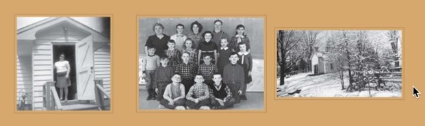 SS # 22 South Burgess (Cranworth) Public School
Source: 'Cranworth Chronicles', by Barbara Gibson, 1996