For more detailed information about visiting North Crosby, see the article: Discover North Crosby

Discover (148)
Children categories
Villages (8)
Our Villages and Hamlets
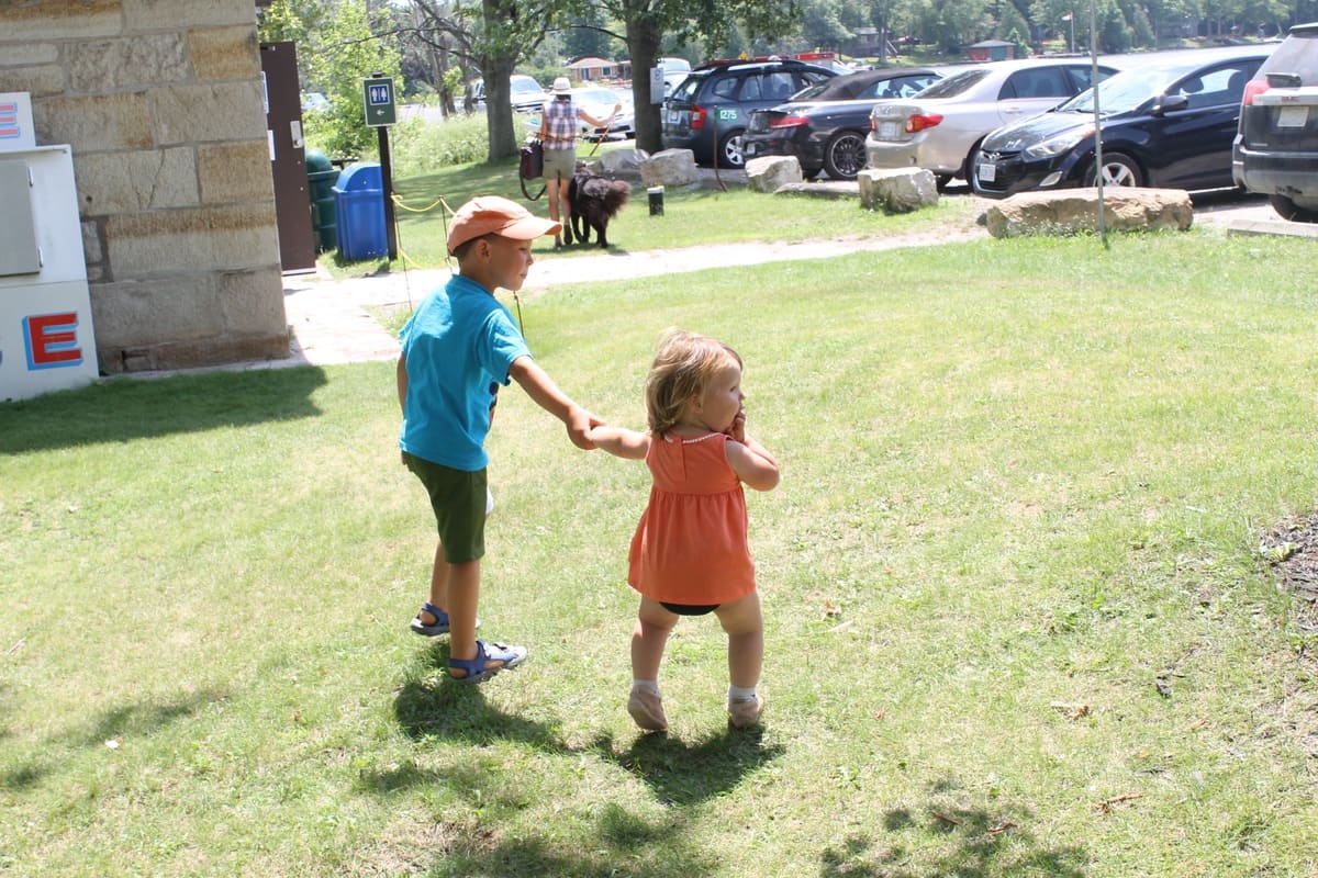
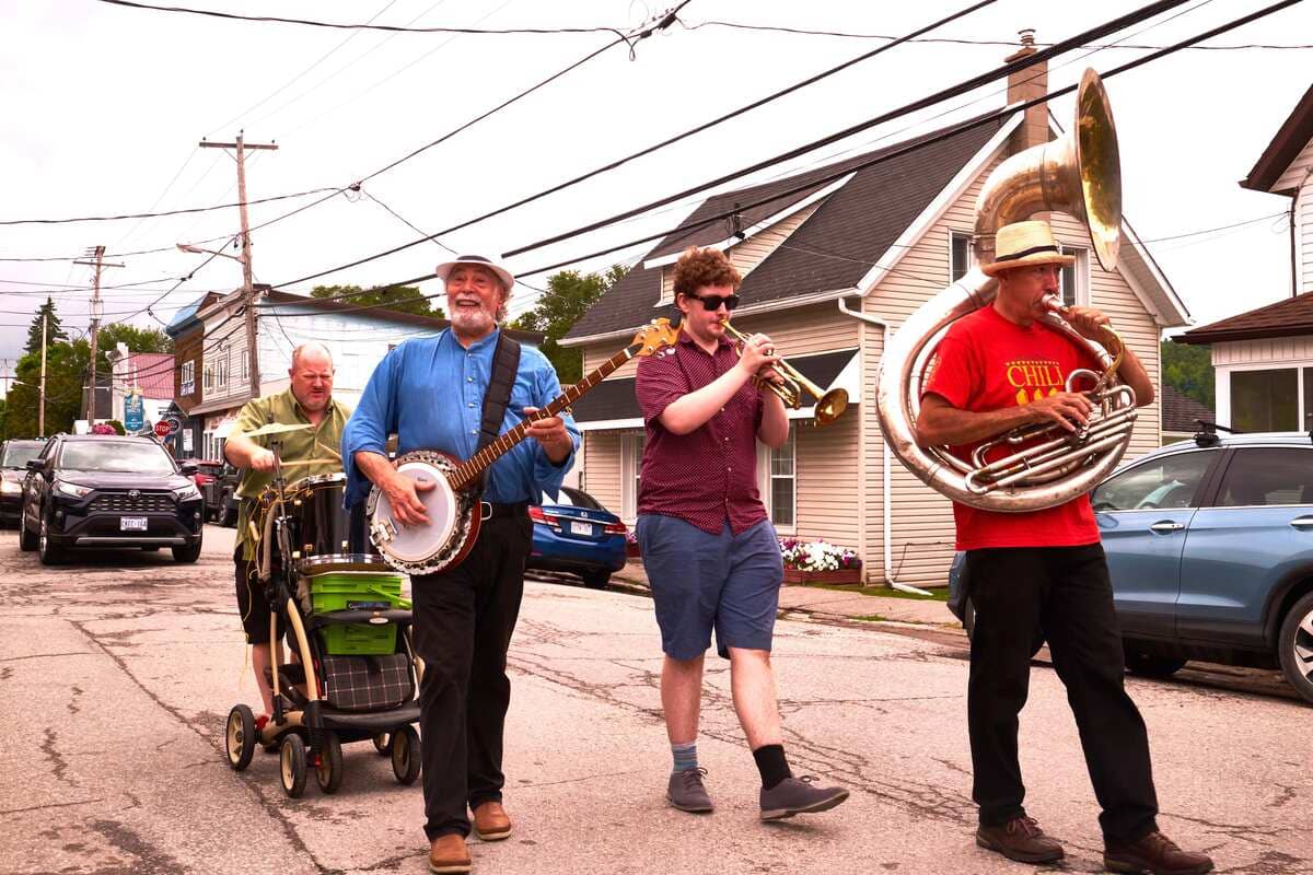
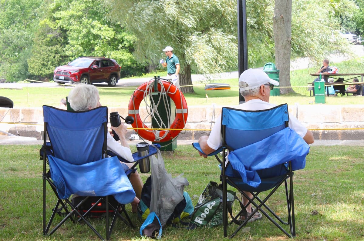
Rideau Lakes is a community of Villages and Hamlets. Explore and learn about the landscape and the people. Each village and hamlet have a unique culture and story to tell. Whether you’re a visitor looking to discover your roots in the area, a family trying out an adventure on the water, or an urbanite seeking a safe and quiet, rural lifestyle… Rideau Lakes will find a place in your heart.
For thousands of years before European settlers arrived in what is now called Rideau Lakes, Algonquin speaking peoples, the Massasauga and proto-Hurons lived in these lands. Indigenous artifacts have been discovered around all of the lakes throughout this area, some that are more than 9000 years old. When the European settlers arrived, just over 200 years ago, the communities of Rideau Lakes were born.
Learn more about
Additional Info
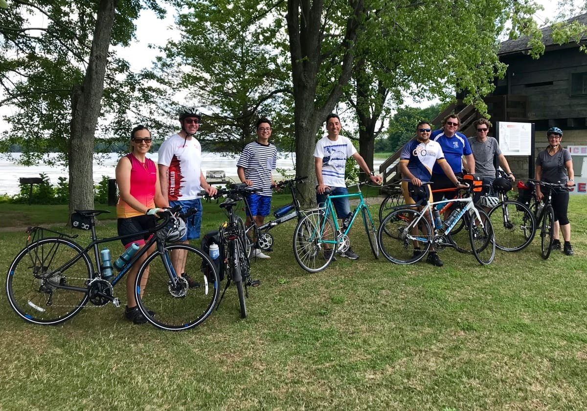
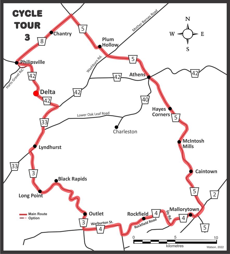
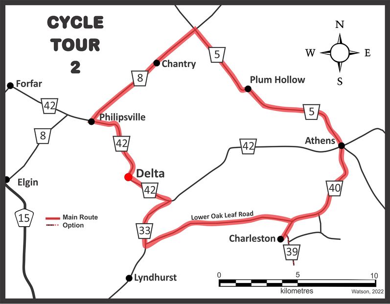
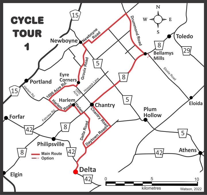
- Route Name Delta - Mallorytown – Athens - Plum Hollow
- Length approx. 90 km
- Road Surface paved roads
-
Map
Published in
Cycling
Learn more about
Additional Info
- Route Name Delta - Charleston – Athens - Plum Hollow
- Length approx. 51 km
- Road Surface paved roads
-
Map
Published in
Cycling
Learn more about
Additional Info
- Route Name Delta - Stone House
- Length approx. 50 km
- Road Surface 50% gravel roads
-
Map
Published in
Cycling
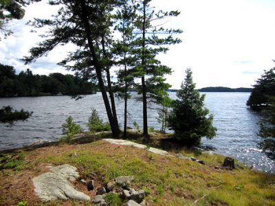
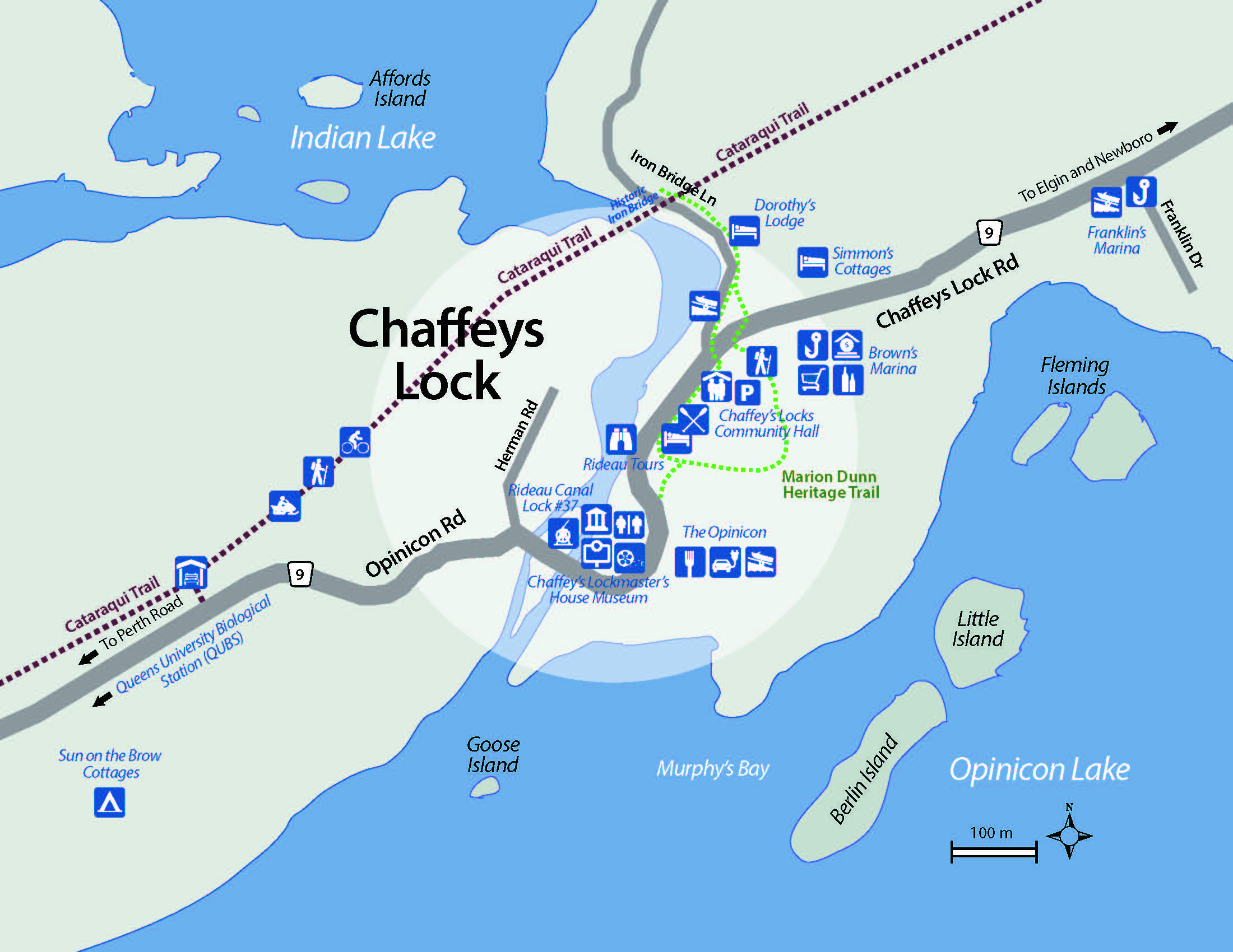
This is a Rideau Waterway Land Trust property which offers an easy hike amongst magnificent butternut, sugar maple, white pine and bitternut trees. The trail leads to a view of the Murphy Bay Wetlands (Opinicon Lake) and to the short causeway leading to the island.. Sugarbush Island is available to the community for passive recreational use and quiet contemplation. It has abundance of wildlife and bird life and is located off Davis Lock Road just west of the junction of Sleepy Hollow Road across from Chaffeys Locks on Opinicon Lake.
Location: James H. Fuller Nature Reserve, 1408 Davis Lock Road, Elgin ON
Published in
Hiking
Peaceful and serene, Mill Pond has six kilometres of wilderness trails. Low undulating hills, forest, water views and a trail to the Lime Kiln provides you with a relaxing but worthy hike. Take a hike through the park and stop for a quiet picnic in the sugar bush or at the covered picnic shelter. Mill Pond has a boat launch (car top only) for those who would like to enjoy a quiet canoe trip.
Location: 4774 Briton Houghton Bay Road, Rideau Lakes
Published in
Hiking
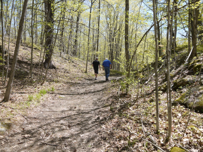
Established in 2007, the Marion Dunn Heritage Trail, located in Chaffeys Lock, provides a pleasant, easy walk through towering trees, including many large cedar trees. It guides hikers down an old road and past the area’s old lime kiln and blacksmith’s shop all the way to the Chaffey’s Lock Cemetery. Here are cut rocks Colonel By decided were not worthy for use by the canal builders, but have become a memorial wall for residents and visitors. The cemetery has 72 graves of canal workers that came from many different lands. Although no longer maintained by Parks Canada, the Marion Dunn Trail is open to the public to use at their own risk.
Location: Next to Brown's Marina at 1724 Chaffeys Lock Road (please ask if parking) or park at Chaffeys Locks Community Hall 1641 Chaffeys Lock Road, Elgin ON
Published in
Hiking

Located at 72 Stanley Lash Lane in Morton, this trail offers hikers 3 exciting trail options. With a spectacular view Rock Dunder is referred to as the “top of the world”. Rock Dunder is one of 21 properties owned and operated by the Rideau Waterway Land Trust. At the parking lot visitors will see a map depicting the various trails offered
Rock Dunder offers three different trails:
The Summit Loop is a 3.9km climb which runs alongside Dean's Island through a variety of forest, offering sneak peaks over rocky cliffs. The summit offers a panoramic view of the Rideau Waterway. (1.5 hours)
The Scout Cabin Trail is a 1.5km trail along the water. (20mins)
The Morton Bay Loop comprises two moderately steep sections to and from a small peninsular outlook over Morton Bay. The hike is 1.31km through mixed forest and along the water. (45mins)
Rock Dunder is open for use from sunrise to sunset. Passes are required and can be bought online ahead of your visit or at the gate upon arrival.
Plan your visit! Purchase a Pass!
Day Pass
$10(per person)
Family Pass
$25 (entry for 2 Adults and 2+ Kids)
Season Pass
$60 (unlimited access for a family in a single car to Rock Dunder from May 15, 2023 - Nov 15, 2023)
Visiting Rock Dunder with a group of more than 12 children or youth? Contact RWLT for the group rate.
Rock Dunder is a carry-in carry-out site.
Published in
Hiking

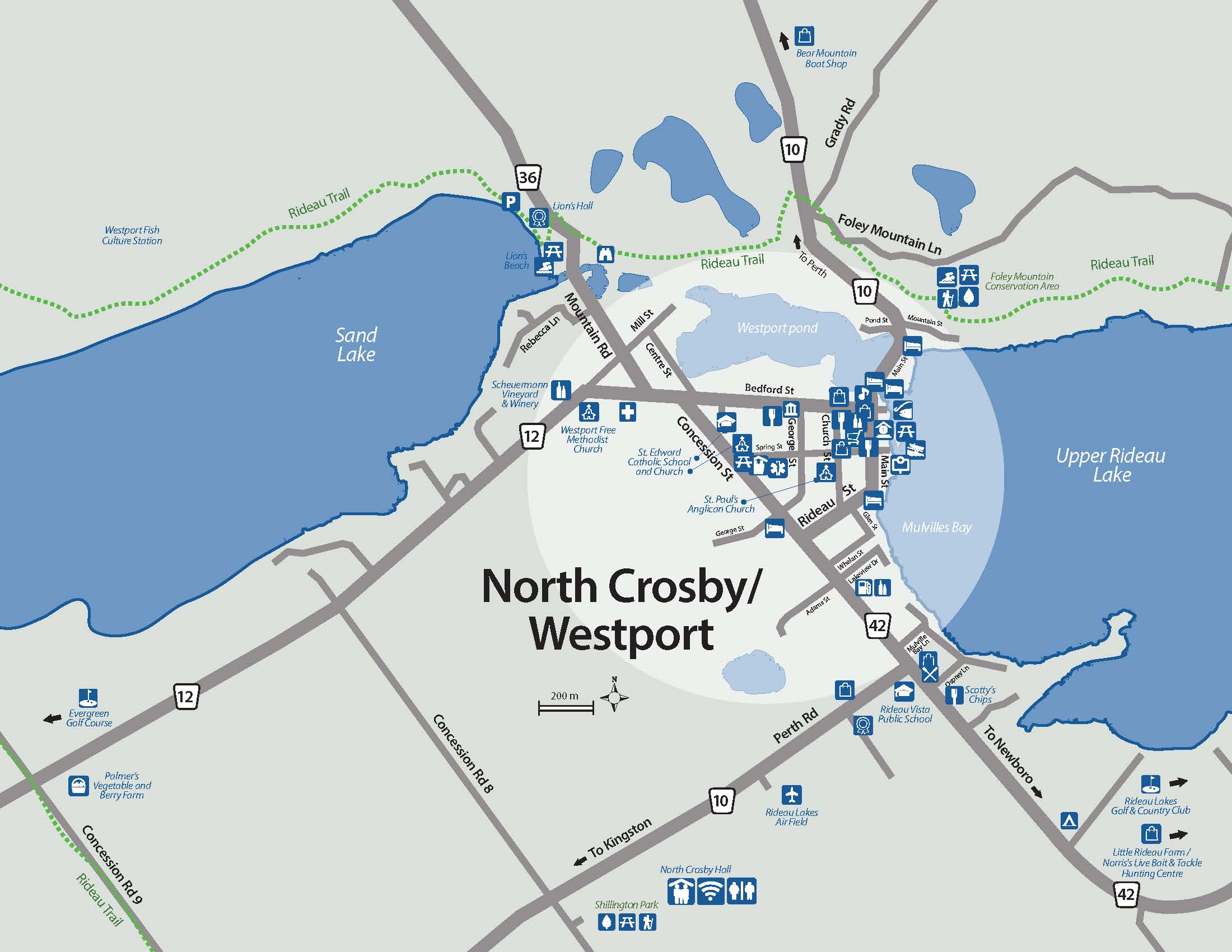
Located at 105 Foley Mountain Lane. Owned and operated by the Rideau Valley Conservation Authority, Foley Mountain Conservation Area consists of 800 acres of mixed forests, ponds, and fields. It is nestled on the top of the “mountain” overlooking the village of Westport and offers a variety of outdoor opportunities, including seven marked trails:
Popular Trails
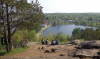
Spy Rock (Blue Circle Trail)
The Blue Circle Trail leads to the Spy Rock lookout, high above Westport. This view was created when a meteor slammed into the planet a few kilometers to the southwest. The impact caused a massive earthquake causing the earth of Foley Mountain to fall away 100 meters creating the abrupt, high cliff with it's spectacular panoramic view. The path to the lookout is accessible via an easy access ramp.
Length: 3.2 km
Mobility Trail, at 0.3 km, enables everyone to enjoy the conversation area. It is wheel-chair friendly, with a wide crushed-stone path and low grades.
Rideau Trail runs for 8 km along the edge of the conservation area.
Other Trails
Meditation Trail 0.1 km
Beaver Trail 1.2 km
White Pine Trail 1.2 km
Red Oak Trail 1.3 km
Orange Maple Trail 2.3 km
Published in
Hiking
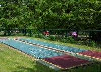
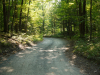
Located at 875 Concession Road 8, just south of the village of Westport, Shillington Park offers easy walking trails through the wooded area that surrounds the softball diamond, community hall, tennis courts, playground, gardens and sheltered picnic areas.
Published in
Hiking
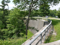
The lock station at Jones Falls hosts a number of loops in and around the locks. A trail from the parking lot will give you access to the Stone Arch Dam – a site well worth visiting. When completed in 1831, this was the highest dam in North America (almost 60 feet), a stunning feat of engineering, still very impressive to this day.
A more robust trail offers the hiker a trip from the lockmaster’s station, along rocky terrain that runs parallel to the turning basin to the blacksmiths shop. The defensible lockmaster’s house, known as Sweeney House after the first lockmaster, Peter Sweeney, is open for interpretation. The blacksmith’s shop, built in the 1840s, often has a blacksmith on duty, more than willing to explain his craft.
Location: 182 Lock Road, Elgin ON
Published in
Hiking
More...
The Lower Beverley Lake Park is a 106 acre multi-use campground with a 2.5 km interpretive trail loop. Pick up a trail guide when you enter the park and follow the numbers to learn about the native plants and animals living here along with historical remains of the Kingston Pembroke Railway line and prospecting sites. There are 2 alternate pathways to shorten or extend your hike through this beautiful wooded area. The trail spurs at the northeast end towards the beach offering a full day of recreation.
Location: 1 Lower Beverley Lake Road, Delta ON
Published in
Hiking
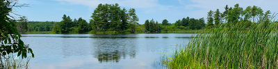
The Cataraqui Trail is a multi-use trail on the former CN rail line from Smiths Falls to Strathcona, just north of Napanee. The trail is 104 kilometres long and begins at the south end of Smiths Falls. Along its route, it passes through a number of communities including Portland, Chaffeys Lock, Sydenham and Harrowsmith.
Cycling, walking, and horseback riding are permitted uses during the spring, summer and fall. During the winter months when there is sufficient snow, the trail is groomed for snowmobiling and is open to snowmobilers bearing a current Ontario Federation of Snowmobile Clubs trail permit. It is also open in the winter to cross-country skiers and walkers. Motorized vehicles such as cars, ATVs and motor bikes are not allowed on the trail.
The Trail is managed by the Cataraqui Trail Management Board and maintained by community volunteers. Memberships and donations help to keep the Trail open. Income tax receipts are issued for all memberships and donations. The other way to help keep the Trail open is to volunteer some of your time.
Location: Municipal Parking located at 635 County Road 5, at the intersection between County Road 5 and Highwy 15 near Portland ON
Published in
Hiking
The Rideau Trail is a hiking trail that starts in Kingston and winds its way for over 300 km to Ottawa following hiking trails, foot paths and back roads. It passes through Provincial Parks, conservation areas and private land. The Trail, completed in 1971, is maintained by the Rideau Trail Association (RTA).
In addition to the main trail marked by orange triangles, there are a number of side trails which are marked by blue triangles.
The trail has something for everyone in terms of difficulty, length of travel, terrain profile, ecosystem type and seasonal variation. It crosses terrain ranging from placid farmland to the rugged Canadian Shield. It is only intended for walking (hiking), snowshoeing, and cross-country skiing. No part of the Rideau Trail itself is owned by the Rideau Trail Association; the continuity of the trail is made possible by the generous permission of both private and public landowners and is enhanced by the existence of a special fund called the Rideau Trail Preservation Fund.
Each of the three hiking clubs of the RTA - Kingston, Central (Perth), and Ottawa, organize outings in all seasons of the year. They usually take place on the weekend and comprise an activity appropriate for the season, such as cross-country skiing and snowshoeing in winter and hiking in the spring, summer, and fall. Other activities are scheduled during the week or on some holidays.
Location: Trailhead and parking area between 245 and 265 Mountain Road, Westport ON
Published in
Hiking
Click on the photo to begin the slideshow
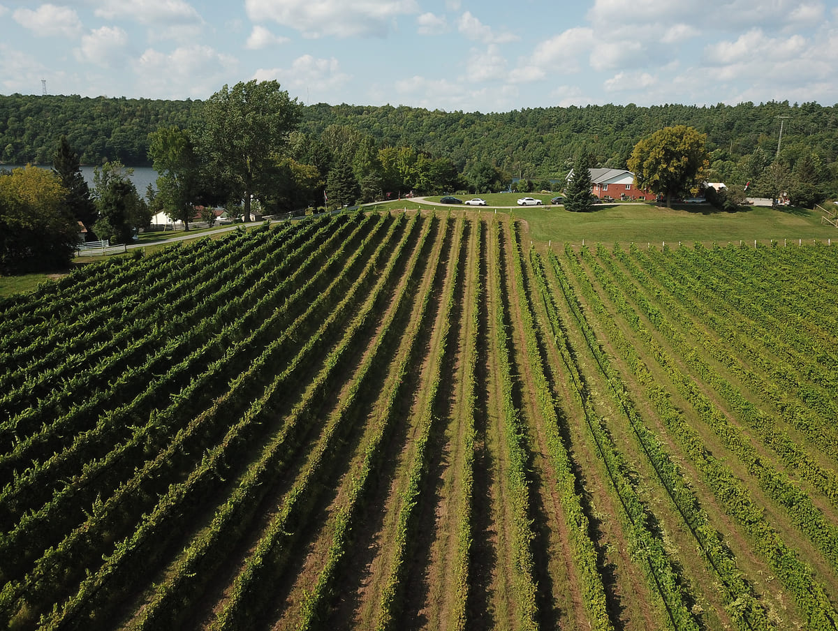
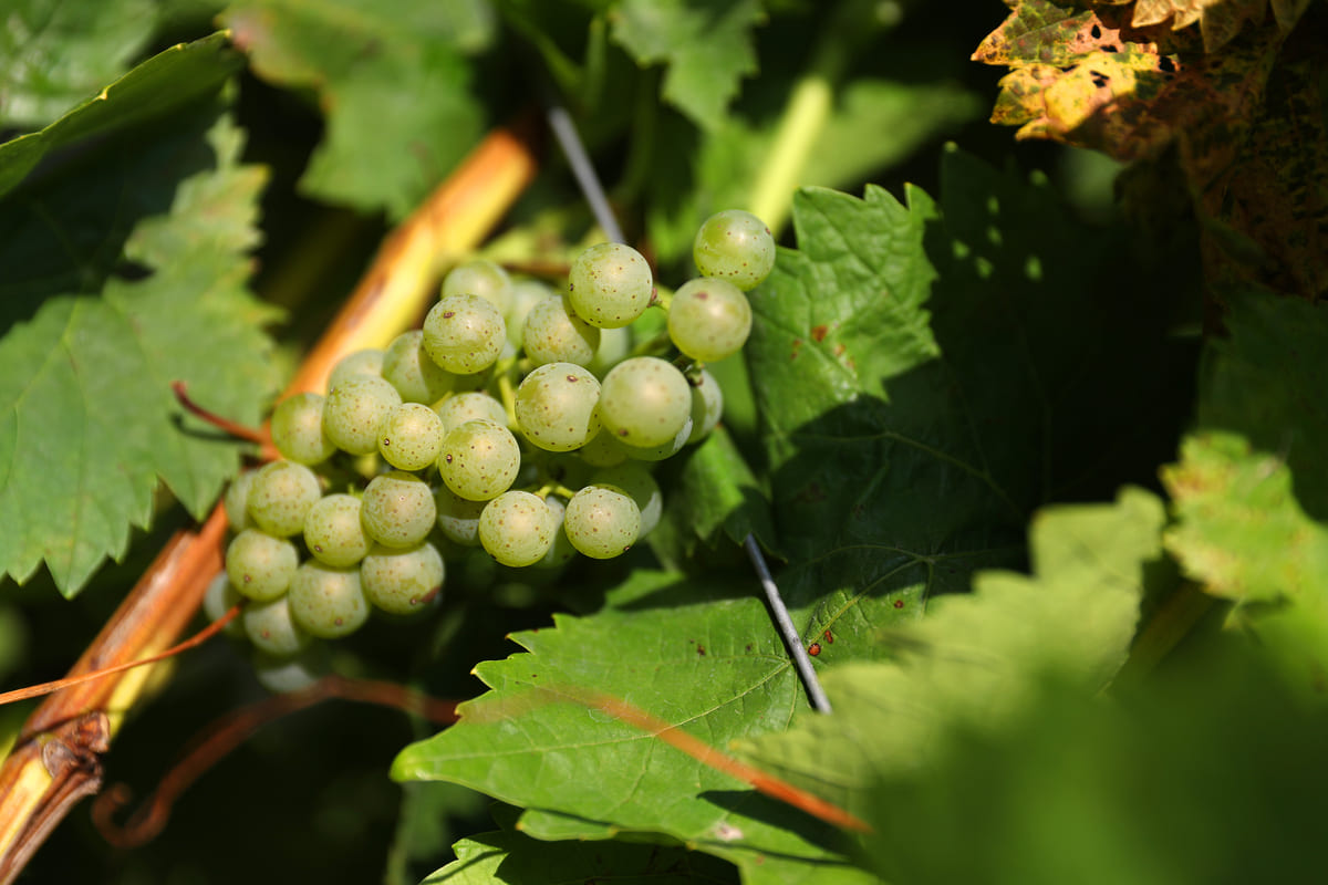
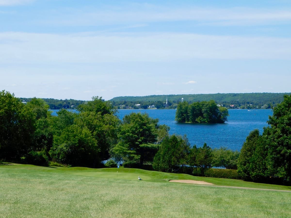
Nature lovers will enjoy a hike to iconic Spy Rock lookout amidst 10 kms of trails at the Foley Mountain Conservation Area for spectacular views. Close by, Scheuermann Vineyard and Winery delights patrons with wood fired pizza on the tented patio overlooking Sand Lake. Next door, outdoor recreation opportunities Sand Lake Beach, nearby Evergreen Golf Course, Shillington Park, the Airfield and Rideau Lakes Golf & Country Club make North Crosby an attractive destination.
The History of North Crosby
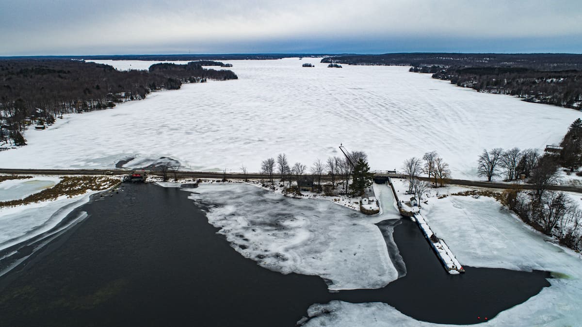
The history of North Crosby Ward stems, in many ways, from its geology and geography. Between 1,600 and 400 million years ago, the region’s rocky foundations were formed by the “mountain-building” period of continental collisions, by the actions of tropical seas, by millions of years of erosion, and by what is known as the Rideau Lake Fault. These prehistoric phenomena yielded the exposed bedrock of the Canadian Shield in the north of today’s ward, as well as the limestone and shale in the south. As the glaciers receded, 12,000 years ago, they scraped away much of the topsoil on what has come to be known as “the Mountain.” The glacial meltwater accumulated to create a vast inland extension of the Atlantic Ocean called the Champlain Sea which covered the southern part of the ward, until it too receded 6,000 to 8,000 years ago. Between these two geologically distinct northern and southern regions of North Crosby, a string of lakes formed along the Rideau Lake Fault line: Wolfe Lake, Sand Lake and the Lower Rideau Lake. One of Ontario’s major watershed divides and cuts across North Crosby, forming a height of land that continues to send the waters of those three lakes north to the Ottawa River, while the waters to the south of the divide flow to Lake Ontario.
Europeans came into the region up the Rideau River system, led by Mississauga guides in 1783. The land around the portage from the Rideau system into Mud Lake (later Newboro Lake) was described by these early explorers as “too rocky to cultivate.” However, the southern plain ultimately provided farmland to settlers that began to arrive in 1819. These settlers were a combination of British immigrants, migrants from other British colonies, such as Nova Scotia, and decommissioned soldiers from the War of 1812. Also, Canadian-born offspring of earlier settlers near Lake Ontario and the St. Lawrence River came, seeking land, and moved into what was still a wilderness in North Crosby. As farming grew, numerous mills sprang up, powered by the rivers of the local watersheds.
The proximity of these watersheds to each other, and their water volume, were deciding factors in the choice of a route, in 1826, for the canal linking Bytown and Kingston. But despite that proximity, the height of land at the Isthmus – the area around what later became Newboro – had to be excavated to link the two watersheds. This cut, through Precambrian bedrock, presented one of the greatest challenges of the Rideau Canal construction. Its completion came at the cost of the lives of labourers, as well as soldiers from the 7th Company of Royal Sappers and Miners, who died as a result of accidents and malaria. Nevertheless, these soldiers and labourers, along with their families, formed another influx of residents, some of whom settled in North Crosby.
The depth required of the excavation at the Isthmus was reduced considerably by an ingenious engineering decision. The water level on the north side of the Isthmus was raised by building a dam and another lock partway down the long expanse of what was then called Rideau Lake. A natural narrow and shallow point had long provided a ford across the lake at what was called The Upper Narrows. The dam and lock station at The Upper Narrows, now called Narrows Lock, created what is today Upper Rideau Lake. It flooded enough land to allow water from the Rideau watershed to fill the cut at the Isthmus as well as the lock station there, which, when opened, allowed boats to pass into the southern watershed. This lock station at the Isthmus, now called Newboro Lock, controlled the water at the top of the Rideau Canal system, which opened in 1832.
In 1836, the year before the Upper Canada Rebellion, Benjamin Tett and Juliana Poole built the first house in what would become the village of Newboro. Around the same time, several homes were constructed on the land that would become the village of Westport, in the vicinity of the two mills that had been built 10 years earlier.
While local farms grew wheat and potatoes for their own consumption, the Rideau Canal provided the means to carry North Crosby’s timber to wider markets. Log rafts and sawn timber left North Crosby throughout the 1840s. The land was quickly cleared, creating a barren landscape quite different from its reforested appearance today.
The canal also opened the doors to an influx of new immigrants. In 1847, thirty thousand Irish farmers came, fleeing the potato famine in Ireland the previous year. Eager to have their own land, some were able to settle near family or friends. But others who came without land or contacts squatted on a few acres on the still-largely-unsettled Mountain. This was a wilderness with which they had no experience, with poor, rocky land for farming, and some did not survive.
On other more established farms in the southern part of the township, the rock became an asset. The expertise of early Scottish stone masons is still evident today in the many stone houses that dot the countryside. Churches, one-room school houses, mills and cheese factories were also built, initially of logs, and then wood frame and stone construction. Some of these structures remain today, and many have been converted into private residences.
Through the 1850s and onward, farms began to produce surpluses that were taken to markets, initially via the canal, and later by rail. Wheat, corn and oats, butter and cheese, pork, potatoes, wool and lumber were all transported. As the farms became more prosperous, local villages grew up to provide the specialized services and manufactured goods they needed. Newboro and Westport had foundries, blacksmiths and tinsmiths, masons, tanners and shoemakers, seamstresses and tailors, mills for various purposes, general stores and more specialized merchants, harness-makers, wheelwrights and wagon-makers, distilleries and breweries, inns and a post-office, and more.
Religious rites were initially provided by travelling priests and ministers from regional Catholic and Protestant missions. The first structure built for religious services in North Crosby was wood-frame, in the 1830s, in what became Westport. It was used as a school and by local Baptists and Methodists. The first Catholic church (and school) in North Crosby was a log structure built in 1840 on the Mountain, the site of which can still be found today on Parish Road.
From 1858 to the early 1870s, tens of thousands of tons of iron ore was extracted from two mines near Newboro: the Matthews Mine and the Chaffeys Mine, as well as a couple of smaller mines in the ward. Most of the ore was shipped through the canal and on to Pittsburgh and Cleveland. There were also several phosphate mines, the largest of which was in the northeast of North Crosby.
In 1888, the Brockville, Westport and Sault Saint Marie Railway came to the area and for a time rail and canal vied for the business of carrying passengers and freight. Rail overtook the canal as the main mode of transport, but with the arrival of private cars and trucks, and an expanded network of roads, the railway eventually disappeared.
In 1910, North Crosby and areas bordering it had forty-two cheese factories. They were supplied milk by 1,042 local dairy farms and produced over four million pounds of cheddar. The cheese was initially shipped out by canal boat, cooled by ice cut from local lakes, and later by rail.
Around the turn of the 19th to 20th century, the local geography spawned a new industry. The local lakes teemed with bass, and fishers and their families came from far and wide. Fishing lodges, boat building, and guiding supported the local sport-fishing industry, and farmers sold off their waterfront properties for rental cottages. While North Crosby's population dropped in the 20th century, farming and local industry continued. To this day, the local villages remain bustling communities. North Crosby has retained many of its long-standing families, but it also regularly attracts new residents. North Crosby is especially busy through the summer months when seasonal residents return, and visitors come to enjoy the natural beauty, as well as its local sports, arts community, shopping and dining.
Historic Photographs of North Crosby: Lakes and Islands, Times Past
Source: Allison Margot Smith
Page 10 of 11