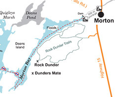
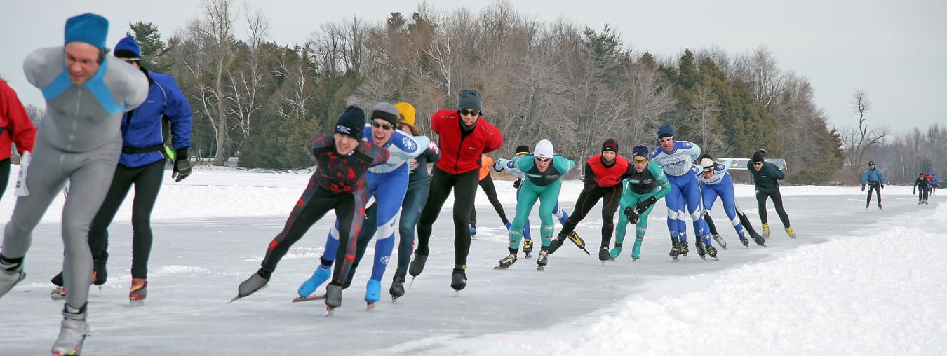
Rock Dunder, a former Scout camp property, is now one of 21 Nature Reserves owned and operated by the Rideau Waterway Land Trust. With a summit 275 feet above Morton Bay, it provides a breathtaking view of the Canal and even of New York State on a clear day.
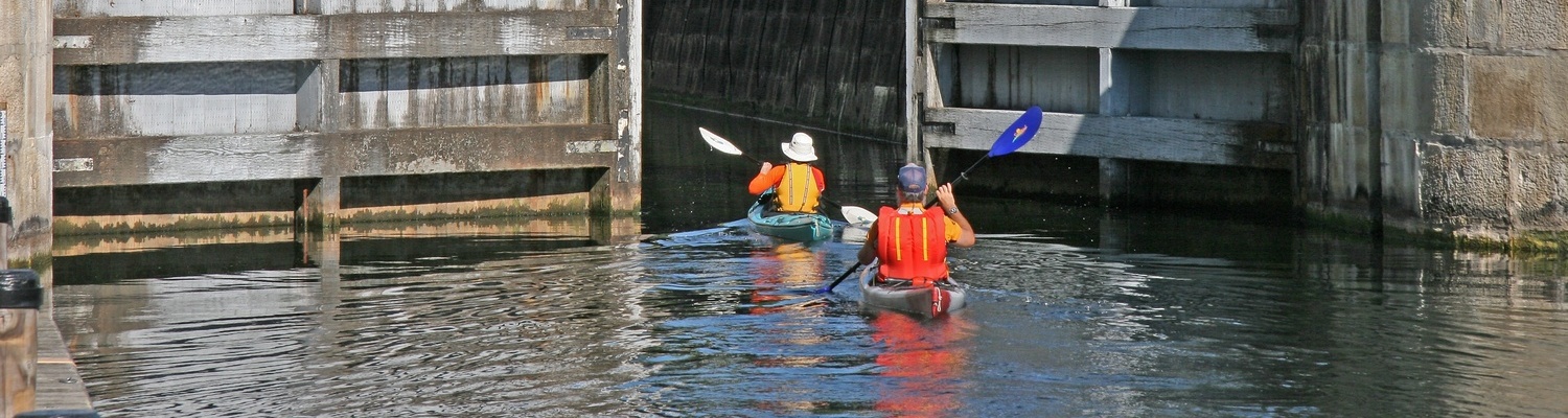
In order to view Rock Dunder from the water, launch from the Parks Canada dock at the end of Stewart Street in Morton.
Paddle southwest along Morton Bay for almost 1 km.
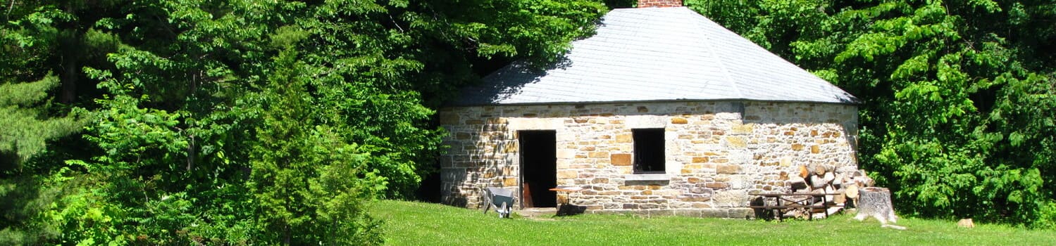
You may be able to spot a small cabin hidden in the woods on the left.
Rock Dunder will become visible from the water on the left side.
There is no access to Rock Dunder by boat. Old pathways leading from the water to the trails have now experienced significant healing and re-growth.
To hike at Rock Dunder please purchase a pass and access the trails by land at the entrance located off Stanley Lash Lane in Morton.
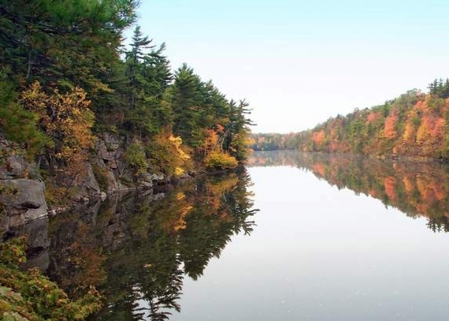
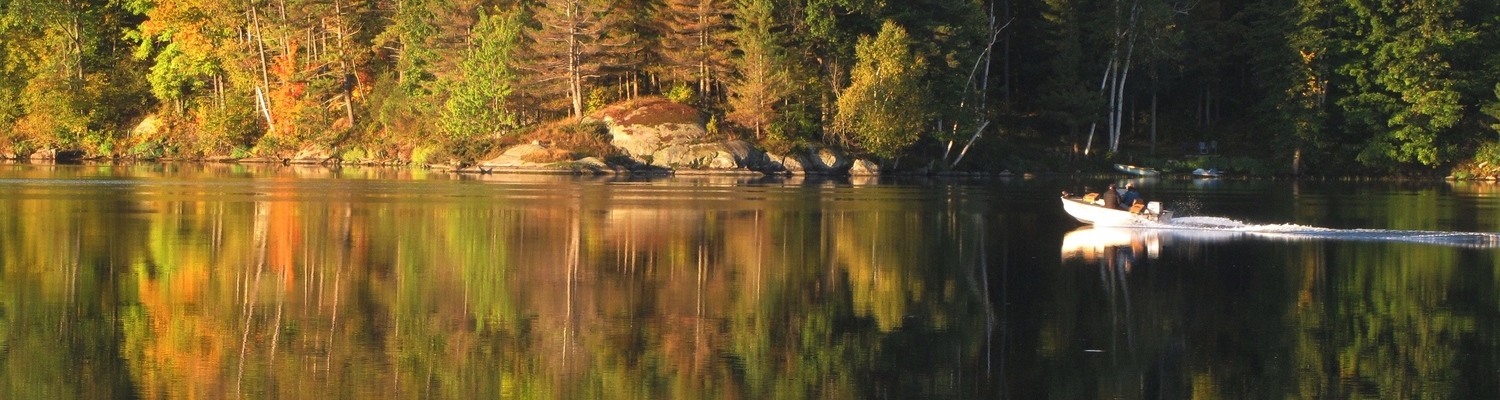
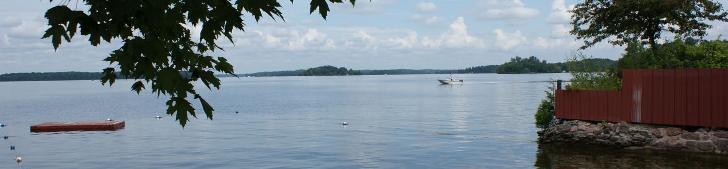
About Morton Bay
Dominated by the large granite exposures of Rock Dunder and Dunders Mate (part of the Lyndhurst Pluton) on the west side of the Bay, in the pre-mill dam/pre-canal era this was a deep gorge with water levels 20 to 25 feet ( 7.5 m) lower than they are today. The White Fish River ran through here on its way to White Fish Falls (site of today’s canal dam). Today this is a beautiful deep water bay. The water that flows through the dam goes into Morton Creek and on to Lower Beverley Lake (and eventually to the Gananoque River).